- Out and Back
- Out and Back
- Out and Back


About
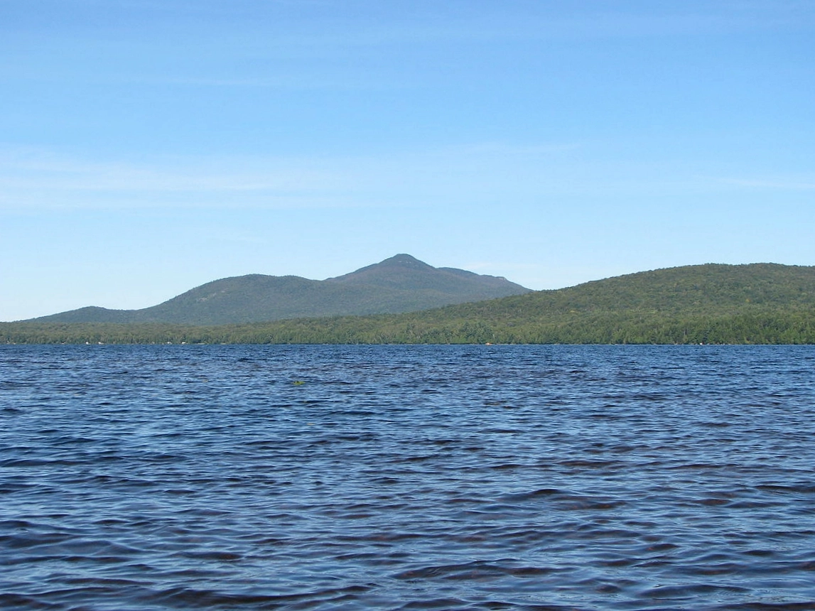
Located in Debar Mountain Wild Forest, Debar Mountain offers beautiful views and is conveniently located near a popular lake and state campground, along with other nearby trails and opportunities for paddling and fishing.
Key takeaways
- Distance: 7.8 miles round trip
- Elevation gain: 1,860 feet
- Hike includes trail junctions, small water crossings, and an exposed summit area
- Based on a hike from the beginning of the dirt road
Hiking Debar Mountain
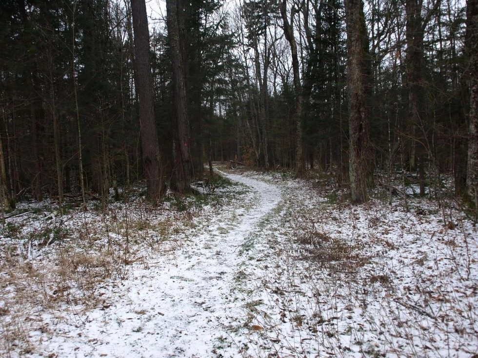
The trail register is located near the yellow state gate, after the initial walk on the rough dirt road. From here, you will begin a mellow hike along an old carriage road. This will be on a mostly flat grade along a snowmobile trail to the junction for Debar Mountain at 1.4 miles into your day.
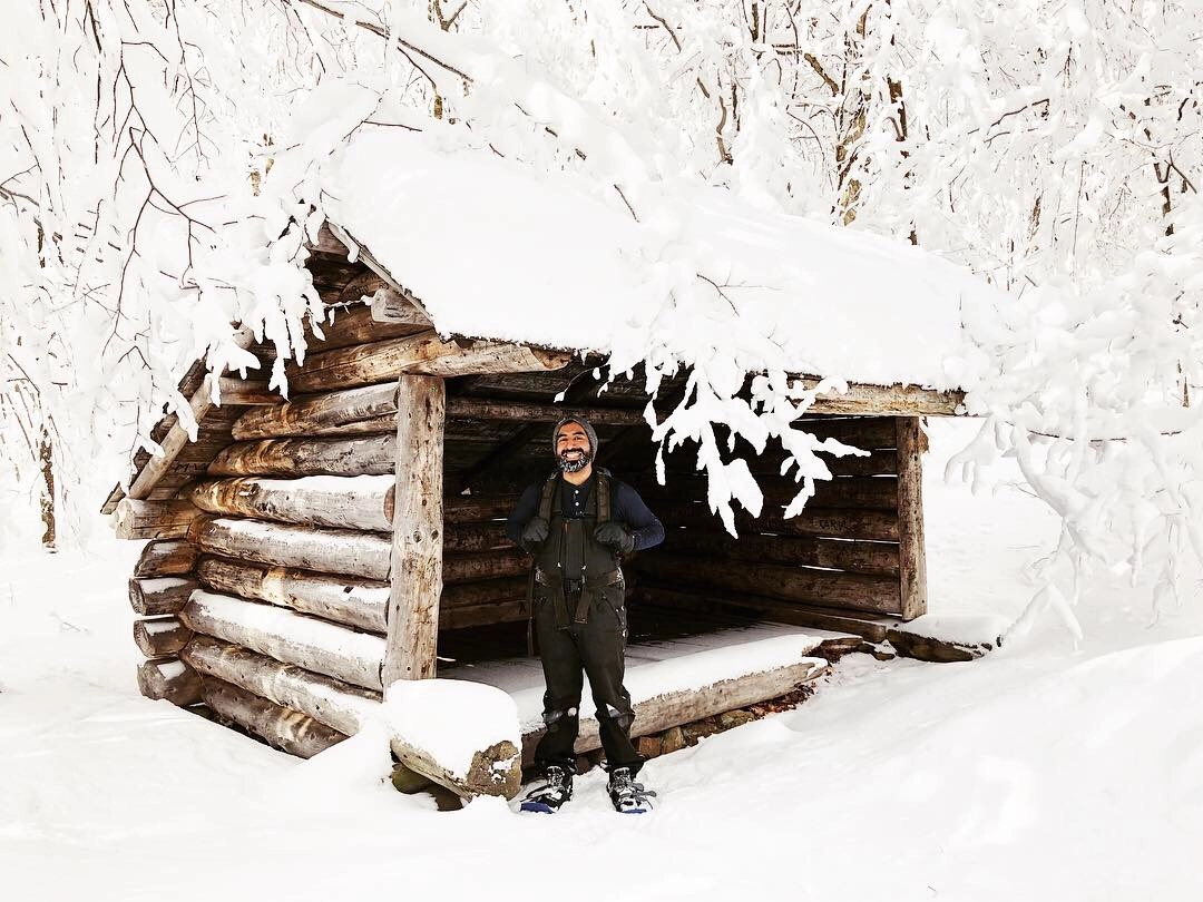
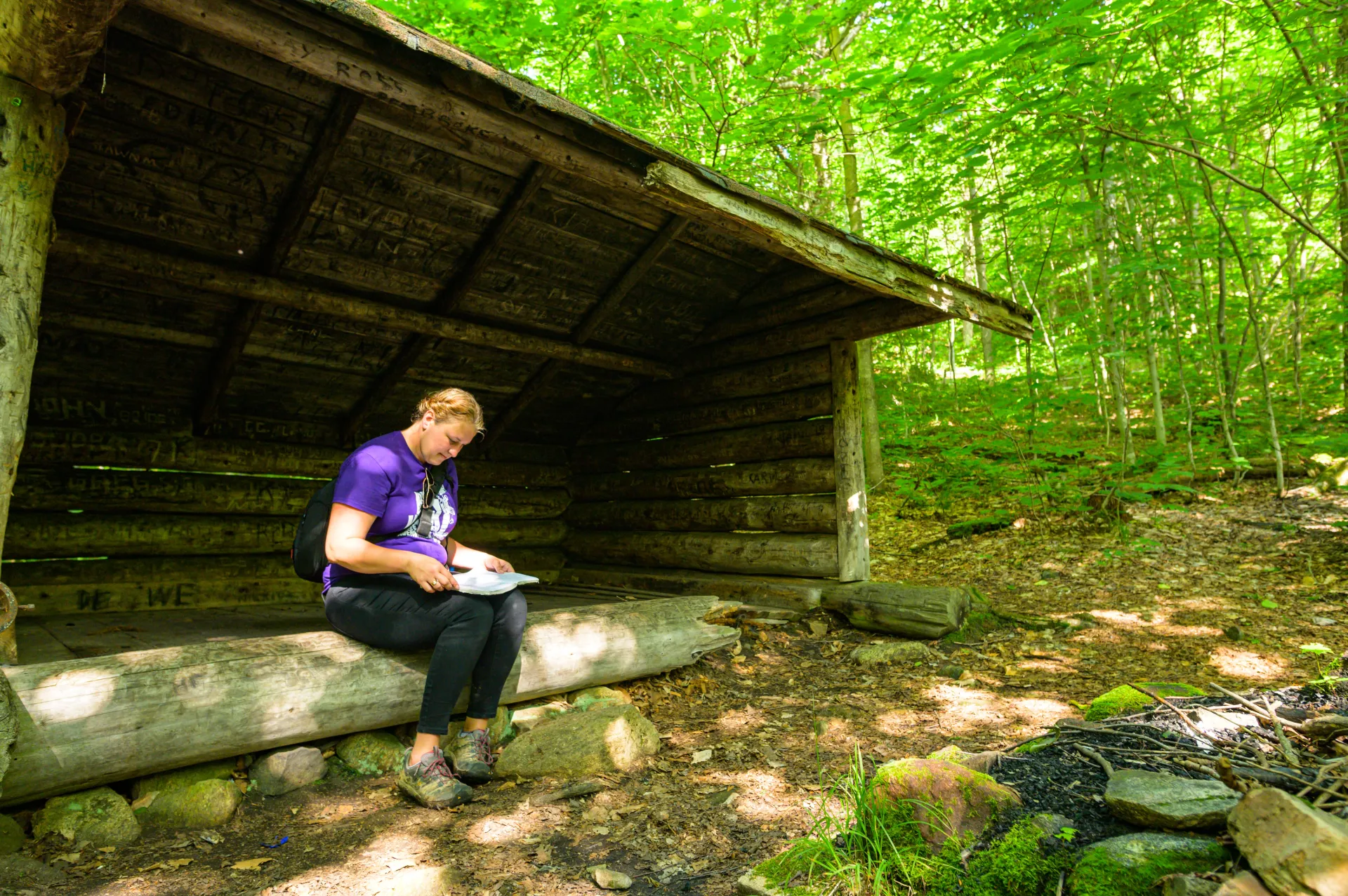
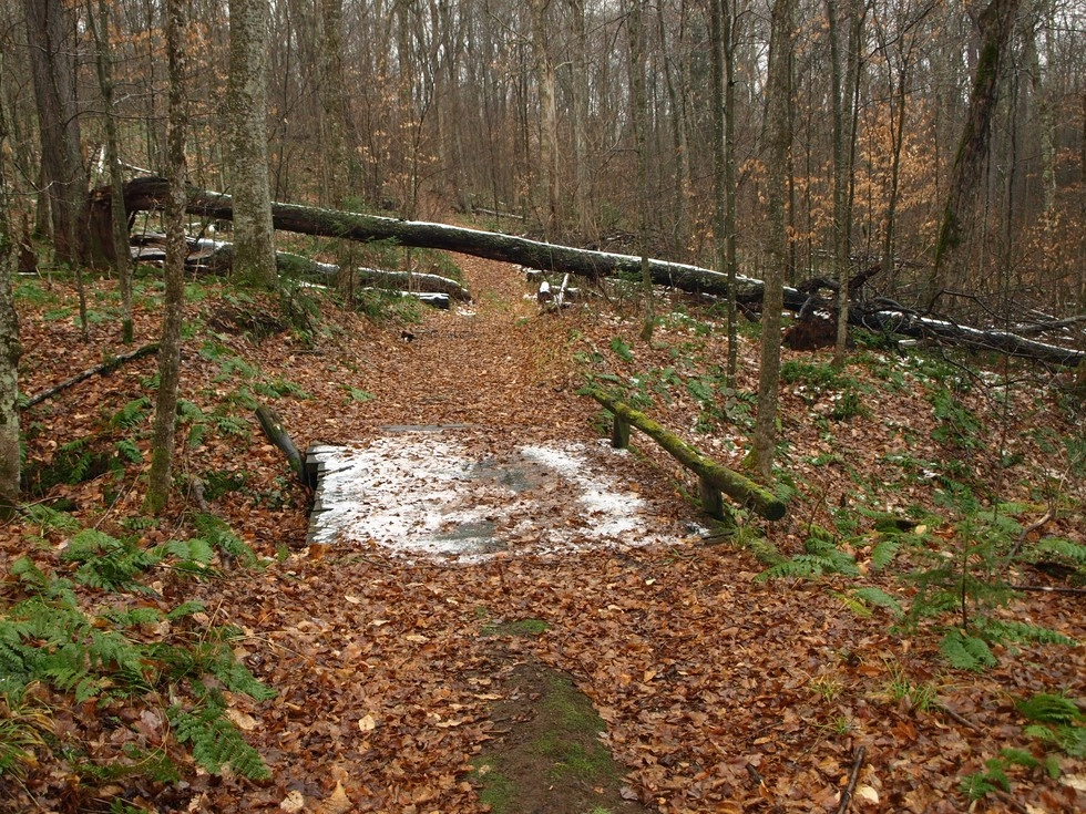
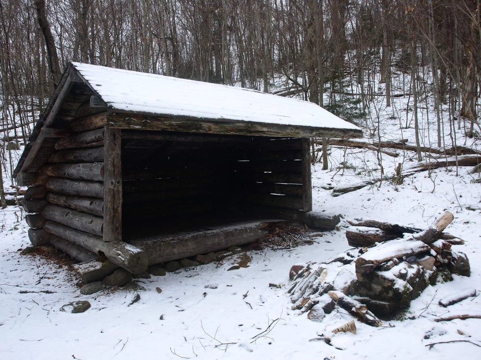
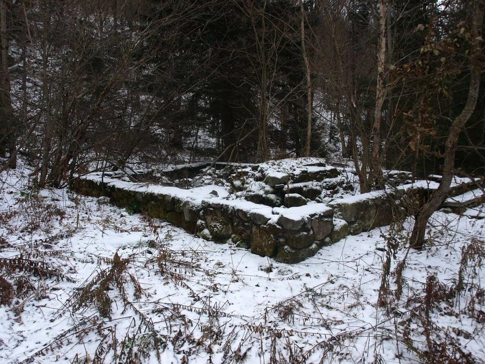
Take this left toward Debar Mountain; there is a trail sign marking this trail intersection. From here, the trail remains relatively moderate, crossing a few small streams via stones and wooden bridges. After a couple short climbs, you will come to the Debar lean-to at around 3.3 miles in. At this point the summit is just over a half mile away, and the ruins of the old fire tower observer's cabin is close by.
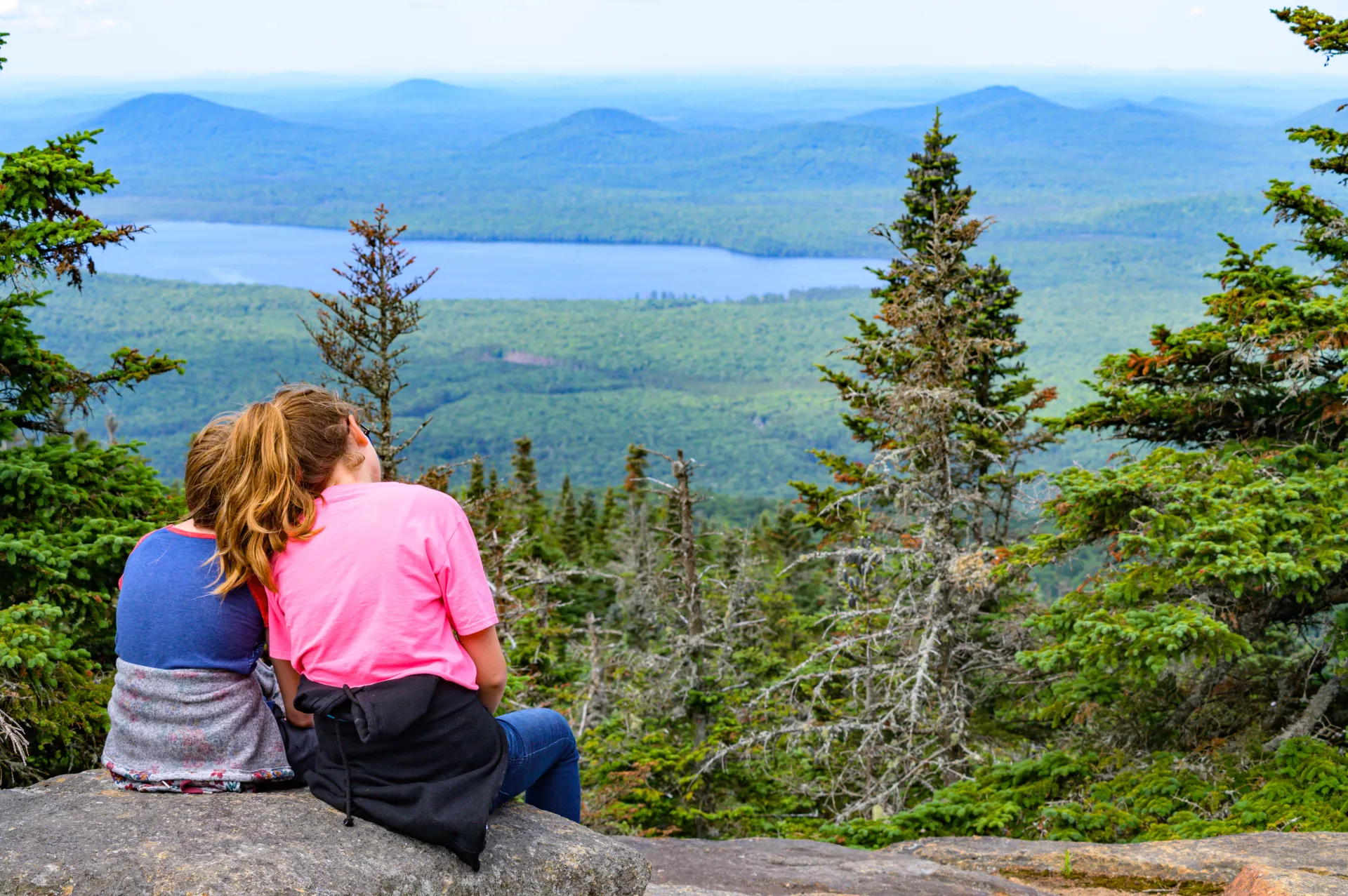
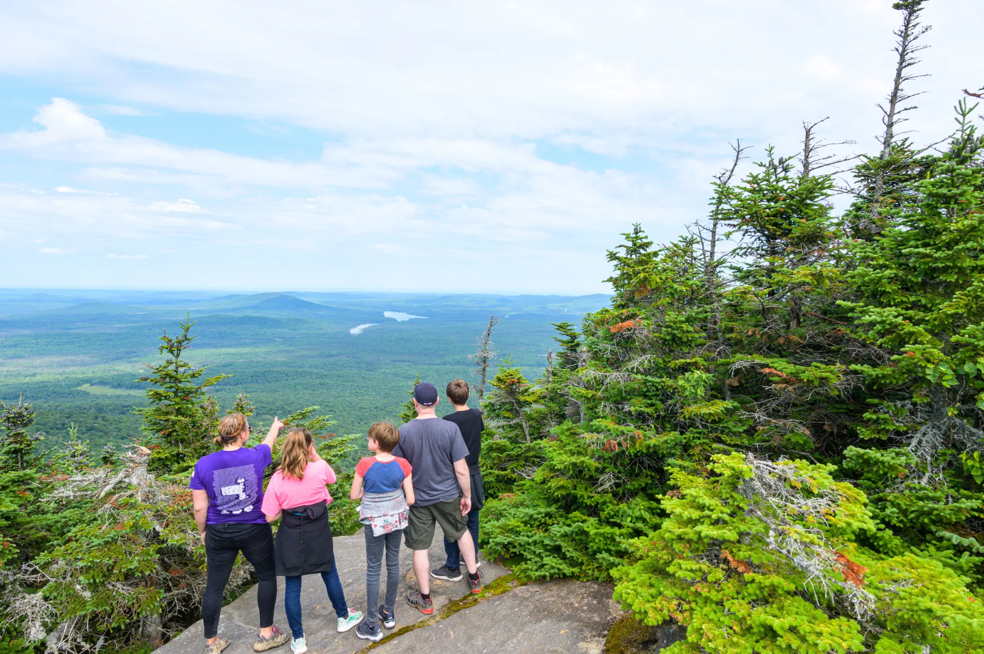
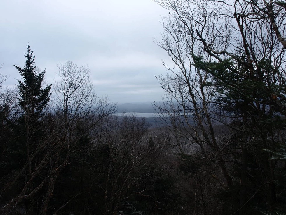
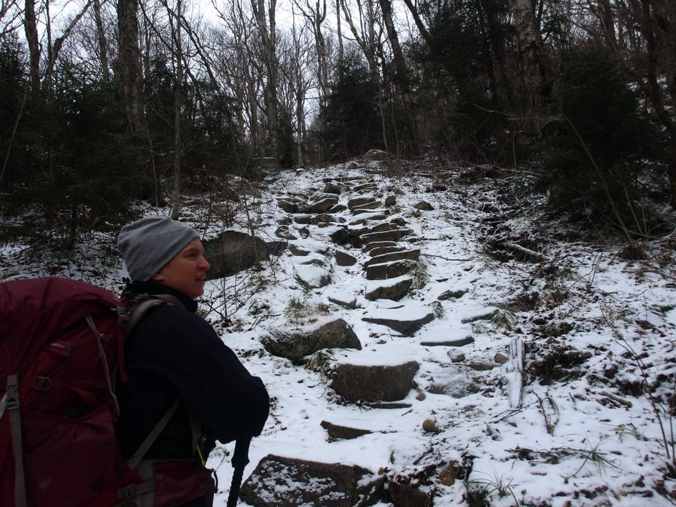
Once past the lean-to, the climb becomes much steeper, with some rock staircases in spots. The trail sweeps by the base of a slide. The trail then climbs along the slide to its left before climbing very steeply over rocky terrain. Once atop here, the grade moderates a bit and eases out to the summit rock. The summit has a 180 degree views of the Santa Clara Tract and the northern Adirondacks. Look for St. Regis and Azure Mountain to the west.
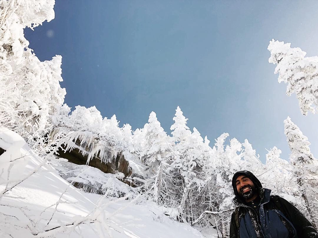
Debar Mountain in the winter
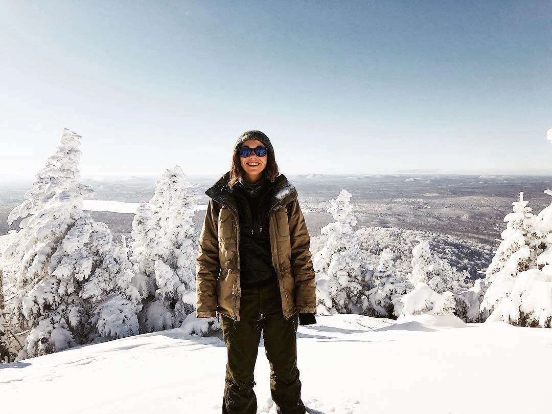
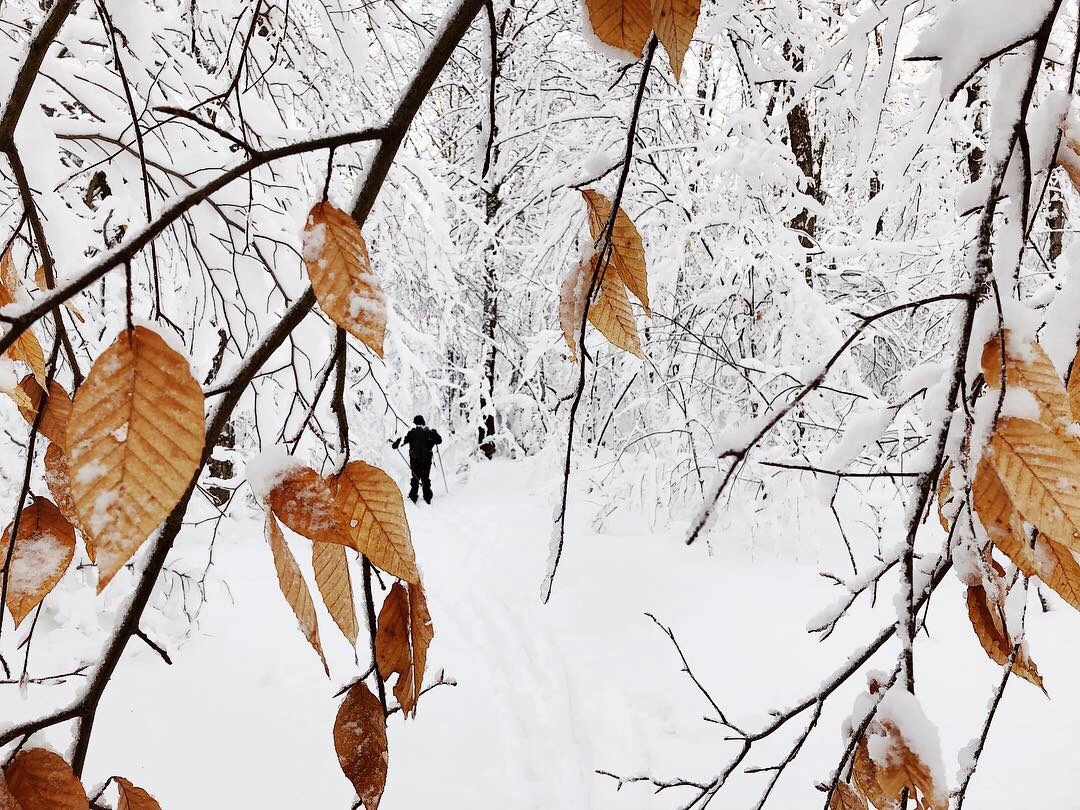
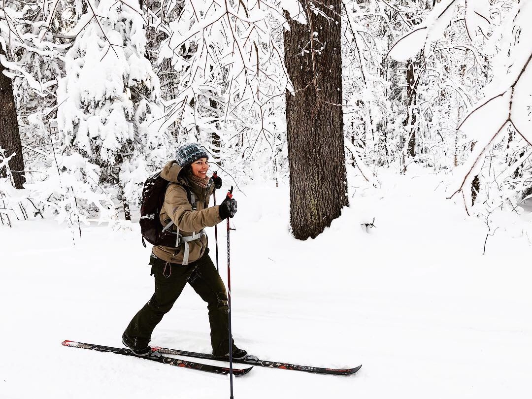
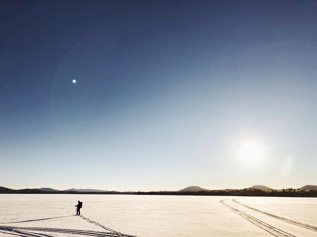
Snowshoes are a must-bring in the winter, and microspikes are highly recommended for the climb to the summit which begins past the lean-to. This is an isolated place in the winter, with the usually bustling campground now closed for the season. Be prepared for all winter conditions.
Explore more trails
Does Debar Mountain sound amazing, but a little more than you want to tackle right now? No need to stress, we can help you find a unique trail that’s right for you!
How to get there
To reach Meacham Lake Campground from the village of Saranac Lake, head north on NY-86 toward Paul Smiths. Drive for about 12 miles until you reach the intersection at Paul Smiths College. At this junction, turn right onto NY-30 North. Follow NY-30 North for approximately 9.5 miles, keeping an eye out for the campground entrance on your right. The gravel parking area is on th left side of the campground around site 41.



