- Out and Back
- Out and Back
- Out and Back
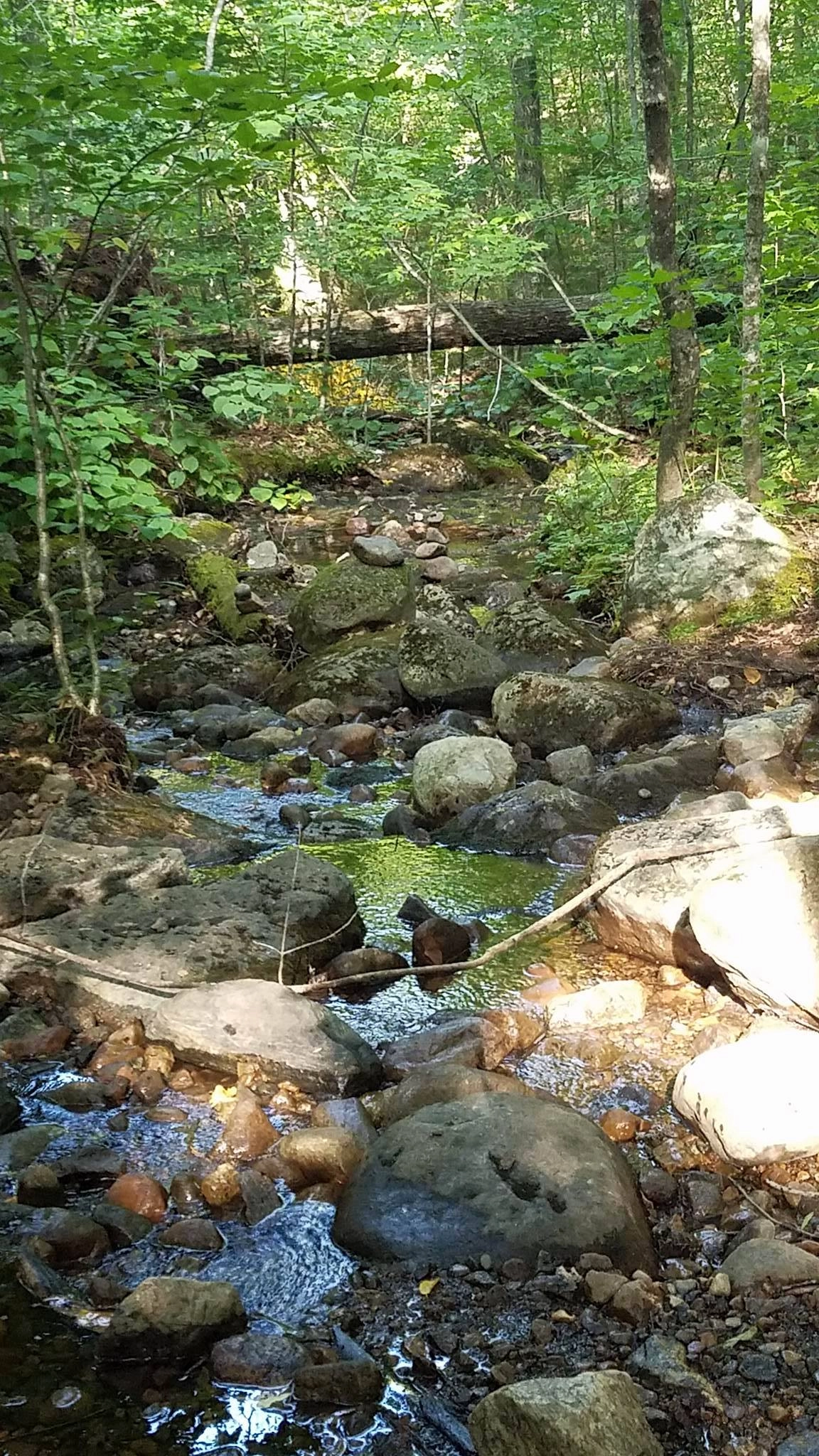


About
A hike of the Fish Pond Truck Trail can be extended with spur trails for more pond exploration. Despite the name, motor vehicles are not allowed on the trail by the general public. However, the designation does allow for mountain and fat biking, skiing, hiking, snowshoeing, and horse riding.
Key takeaways
- Distance: 9.4 miles round trip
- Elevation gain: 950 feet
- Hike includes trail junctions
Hiking the Fish Pond Truck Trail
The Fish Pond Truck Trail is 4.7 miles to the end, and it has 2 miles of spur trails for further access to Saint Regis Pond, Bone Pond, Grass Pond, Ochre Pond, Mud Pond and, at the end, Fish Pond. The spur trail to St. Regis Pond is known as the St. Regis Pond Truck Trail, which can also be biked off the Fish Pond Truck Trail.
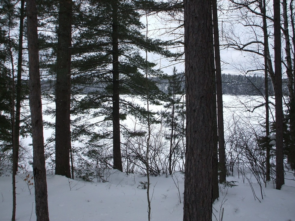
Fish Pond Truck Trail in the winter
From Fish Hatchery Road, start by skiing or snowshoeing the access road to the railroad tracks. At the railroad tracks take a left and either follow the tracks or the road alongside. The road is usually in better condition. After about 0.75 miles the Fish Pond Truck Trail will come in on the right. Once on the trail you will notice it is properly named, it is an old truck road. The course is wide and flat at the beginning but will soon come to a small climb over a knob which is the height-of-land along the trail. The descent on the other side is a nice one, but not very aggressive. At the base of the descent you will cross a tributary of St. Regis Pond and start a course of small rolling hills that will pass you by a few short spur trails to other hidden gems. Be prepared for all winter conditions.
*The access road to Little Clear Pond is technically not maintained in winter, parking will be required to be off Fish Hatchery Road.
Camping
The road ends at Fish Pond near a lean-to. Even if the party is not camping, this is an excellent spot for a break and snack. There are primitive camping sites on spur trails off the truck trail at Grass Pond, Ochre Pond, and Saint Regis Pond. Two lean-tos are located on Fish Pond.
Explore more trails in Saranac Lake
Does the Fish Pond Truck Trail sound amazing, but a little more than you want to tackle right now? No need to stress, we can help you find a uniquely Saranac Lake trail that’s right for you!
How to get there
From the intersection of Route 30 and Route 3 in Tupper Lake follow Route 3/30 toward Saranac Lake. Where Route 3 and Route 30 split; follow Route 30 toward Fish Creek. Continue for over 11 miles to Fish Hatchery Road on the left. Turn down Fish Hatchery Road for about 0.1 miles to the Green Pond access on the left. In summer, turn here and cross the railroad tracks, then turn left and go about three-quarters of a mile to a parking area on the right. This is the official start of the trail, but in winter, skiers and snowshoers will have to park on Fish Hatchery or Station roads.
Emergency Information
Related Content
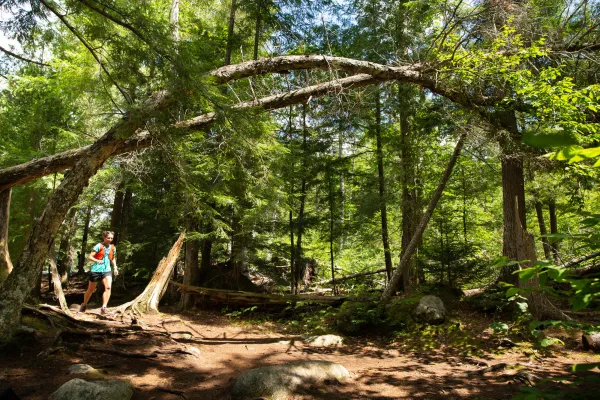
Saranac Lake is home to some awesome options for trail runners!



