- Out and Back
- Out and Back
- Out and Back



About
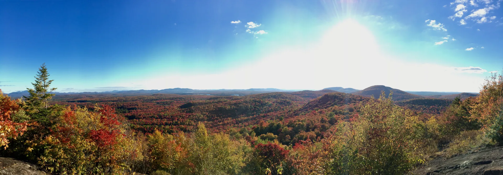
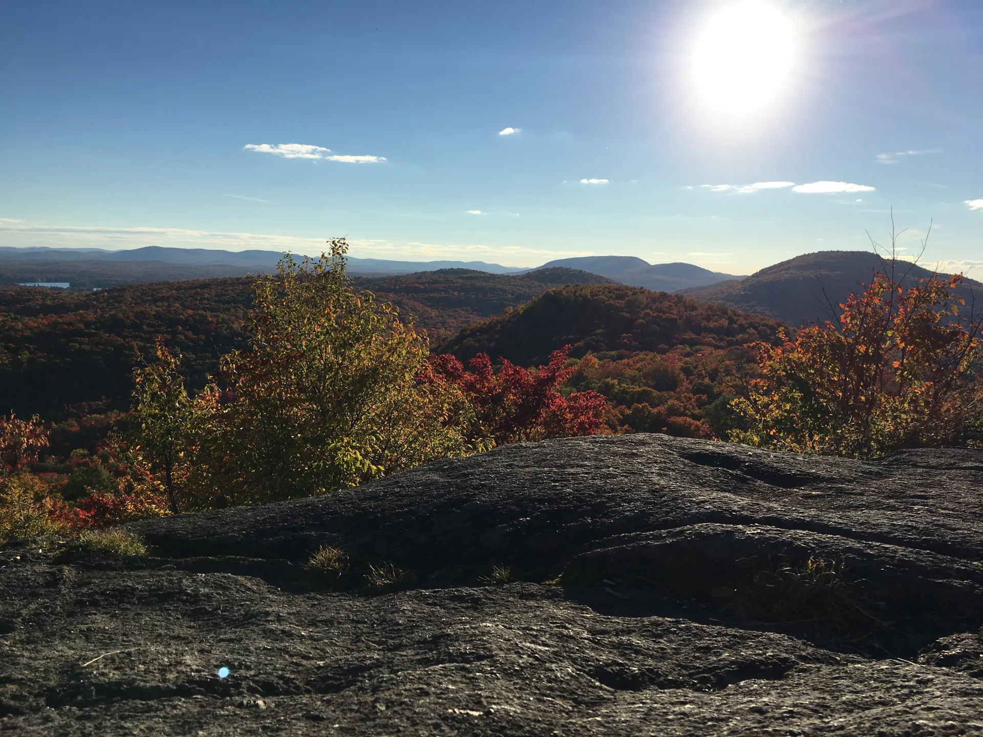
With its moderate terrain and outstanding view, Floodwood Mountain is a great choice for a family outing, especially with the nearby paddling, or for a first-time snowshoe in the winter. Access is from Floodwood Road, which was originally the stage coach connection between the Saranac Inn and the Derrick Station along the Northern Adirondack Railroad (late 1800s and early 1900s).
Key takeaways
- Distance: 3.3 miles round trip
- Elevation gain: 760 feet
- Elevation: 2,304 feet
- Hike includes trail junctions and steep rock slab
Hiking Floodwood Mountain
The trail leaves the gate and follows a forest road, where a bit of flooding can occur thanks to beaver activity. Bear right when the road splits — don’t follow the left fork. Soon after the split, the trail leaves the road and begins a moderate climb over rocky terrain, then a couple of short, steep pitches end at Floodwood's highest summit. Look for a sign on a tree to find the 0.25-mile trail to the southern summit, which requires a short, steep descent over slab rock followed by a short rock scramble that ends at the summit.
Floodwood Mountain in winter
Floodwood is a great beginner snowshoe for anyone who feels ready to tackle a mountain. Snowshoes are necessary to avoid postholing through the snowpack, and microspikes are suggested for ascending the mountain's steeper sections, although they might not be absolutely necessary. Extra layers of non-cotton clothing, a windbreaker, emergency blanket, first-aid kit, headlamp with extra batteries, and plenty of food and water are essential items for any winter excursion. The extra layers and windbreaker are especially important on the summit ledges, which are partially exposed and likely to be much colder than the lower sections of the mountain.
Explore more trails in Saranac Lake
Does Floodwood sound amazing, but a little more than you want to tackle right now? No need to stress, we can help you find a uniquely Saranac Lake trail that’s right for you!
How to get there
From downtown Saranac Lake, take Route 86 west toward Paul Smith's and turn left on Route 186, which is just after Donnelly's Ice Cream and about 7.5 miles from downtown. After about 29.5 miles, turn right on Floodwood Road. Follow Floodwood Road and look for Floodwood Mountain signs in 6.25 miles. There will be a turnoff on the left near the end.
Emergency Information
Related Content

Saranac Lake is in the heart of Adirondack hiking country, with the High Peaks nearby, countless trails within a short drive, and great hiking in and around town. But despite the well-deserved popularity of many of the...



