- Out and Back
- Out and Back
- Out and Back


About
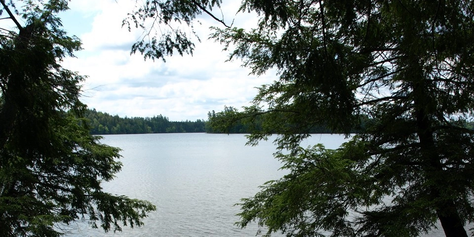
Round Pond is not the official name for this pond; in fact, it is not labeled with a name at all. However, there is a trail leading to the carry from Follensby Clear Pond. With a herd-path leading through camping areas from the parking lot, this pond also makes for a nice short hike for the family.
Key takeaways
- Distance: Around 0.8 miles round trip
- Elevation gain: Less than 30 feet
- Hike includes unmarked trail
Hiking to Round Pond
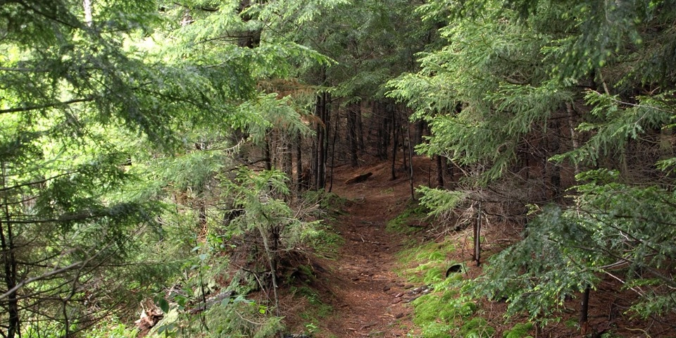
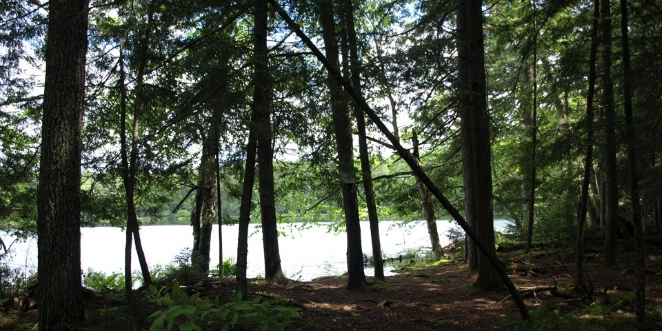
This is an approximately 0.75 mile hike, one way, over easy terrain. From the parking lot look for a well-trampled path to the right along the shore of Follensby Clear Pond. This trail will continue along the shore of the pond and proceed through a couple campsites. The canoe carry to Round Pond is located in a very shallow bay that looks to be washed out a bit from high water.
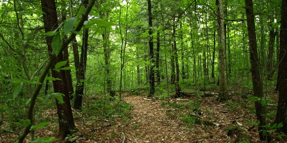
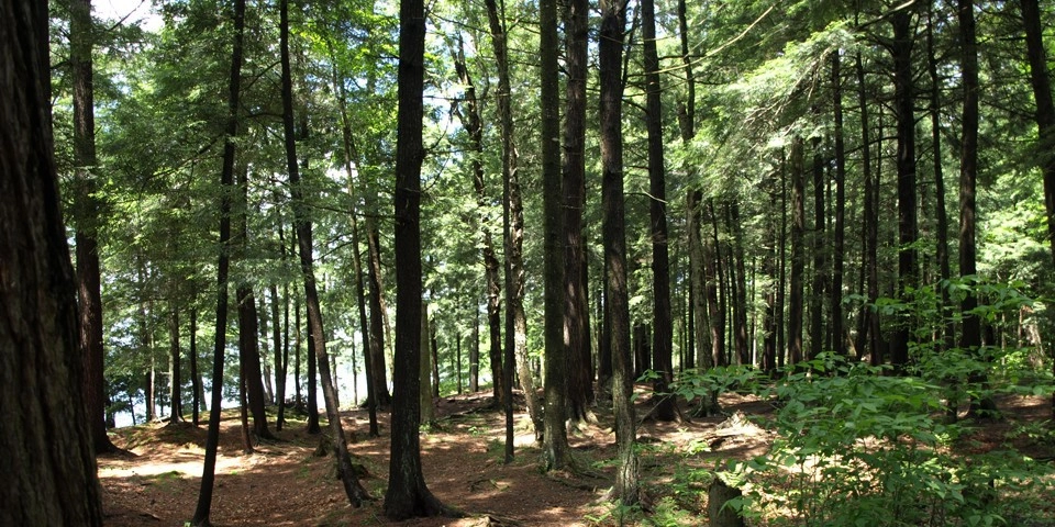
The carry is very level as it sweeps through an open hardwood forest. The trail is unmarked, but very easy to follow. Quickly, an opening will appear through the trees as the pond comes into sight.
Round Pond in the winter
This short, fairly level trail is excellent for beginners and cross-country skiers. Be prepared for all winter conditions, and be especially careful on and around frozen bodies of water in the winter.
Discover more trails
Looking to find some more trails to hike? With endless mountains, lakes, and waterfalls to visit in the Adirondacks, there are always more trails to discover!
How to get there
From the intersection of Routes 3 and 86 in Saranac Lake follow Route 3 toward Tupper Lake. Continue to the intersection for Route 3 and Route 30 just outside north of Tupper Lake. Follow Route 30 toward Fish Creek. Continue to the boat launch parking for Follensby Clear Pond on the left, park here.
Emergency Information
Related Content
This was a nice surprise for a short afternoon paddle on Follensby Clear Pond. It seems as though I have half day offs to go play, so I find myself on small excursions. For some reason I chose Follensby Clear Pond as my destination on this day. I...



