- Out and Back
- Out and Back
- Out and Back


About
Sometimes overlooked, the hike to Moose Pond is pleasant and very enjoyable.
Key takeaways
- Distance: 2.5 miles round trip
- Elevation gain: 220 feet
- Hike includes trail junctions and a bridge
Hiking to Moose Pond
From the parking area on State Route 3 between Saranac Lake and Bloomingdale, this hiking trail goes 1.1 miles to the south end of Moose Pond. From the parking area, the trail crosses the Saranac River on a metal bridge before the trail register. From there, it follows an old access road with easy grades and minimal elevation change.
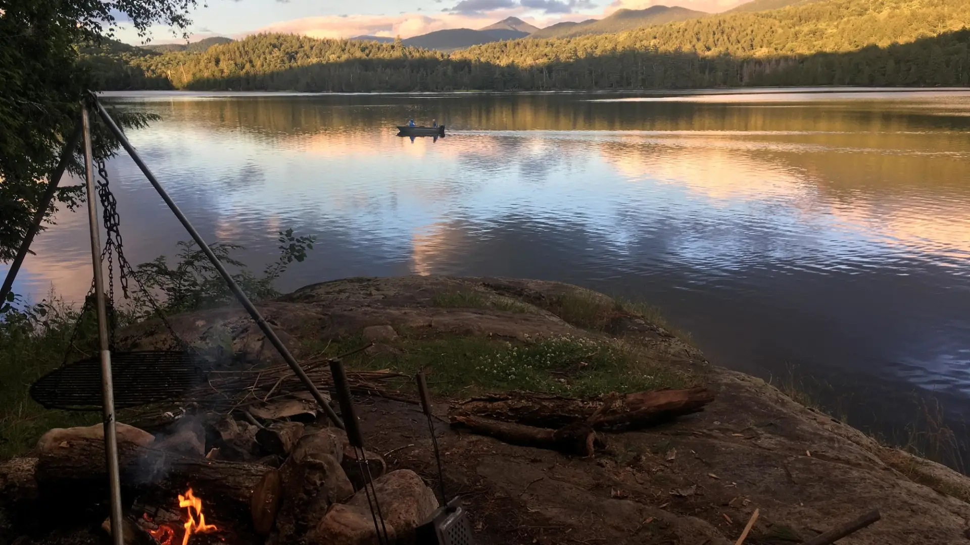
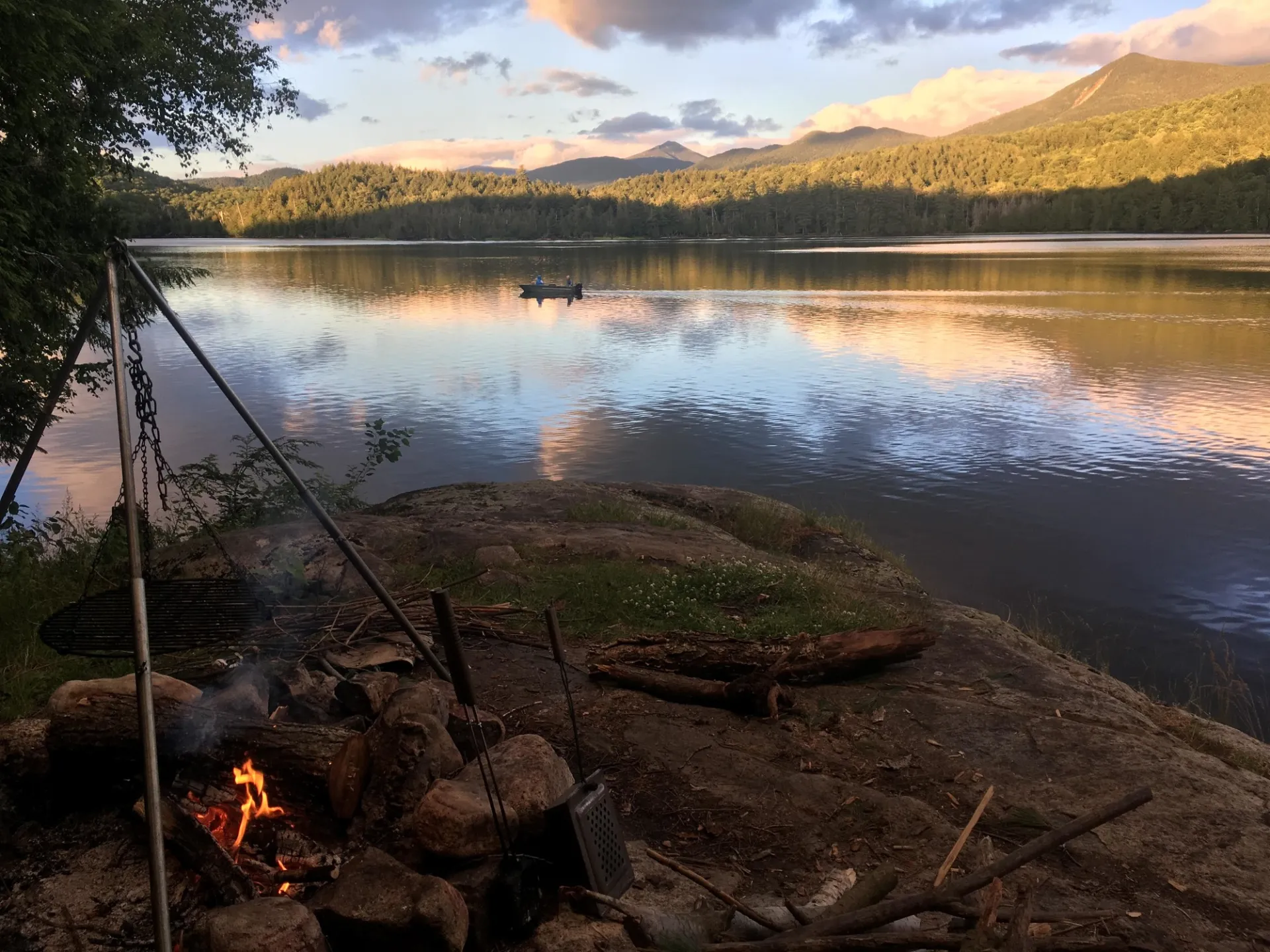
At about the 1-mile mark, the old road continues straight to the site of a former lodge (long gone, though the chimney remains). Bear right at the split to reach a rock outcrop and the shore of the pond about 0.1 miles later. From the rock outcrop, there are views of Whiteface Mountain and the McKenzie Mountain Range. You can add distance to the hike by exploring where the trail splits northward.
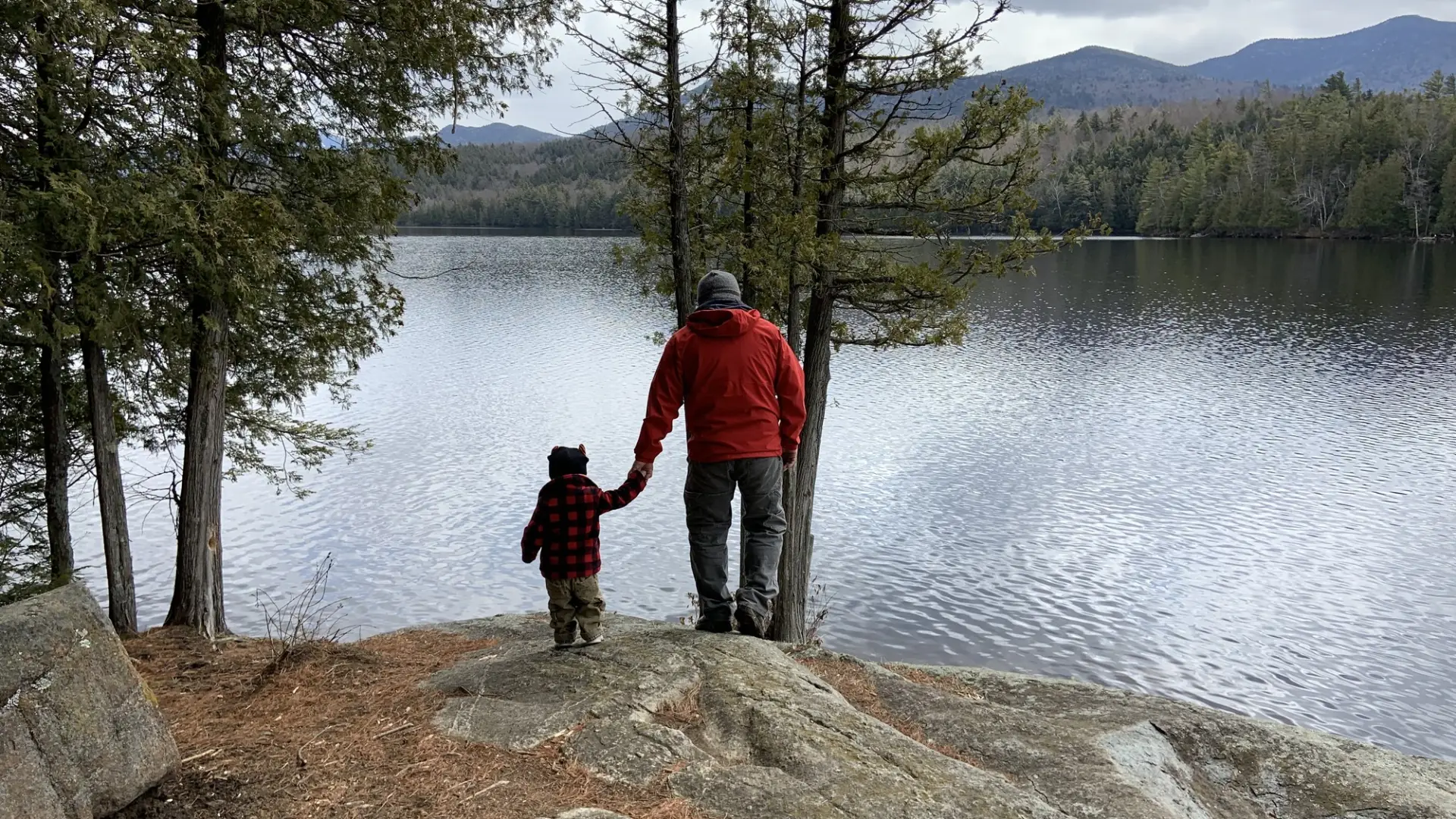
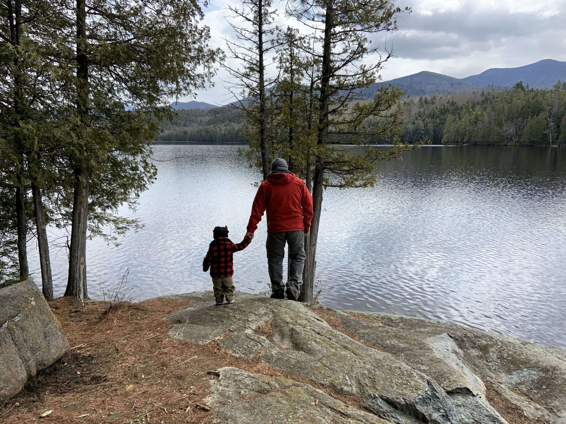
Moose Pond in the winter
The seasonal access by the bridge is not plowed in the winter, but you can park at a pull-out on Route 3. It makes for a nice cross-country ski when the coverage is good, as well as a good snowshoe. Be prepared for all winter conditions.
Explore more trails in Saranac Lake
Does Moose Pond sound amazing, but a little more than you want to tackle right now? No need to stress, we can help you find a uniquely Saranac Lake trail that’s right for you!
How to get there
From downtown Saranac Lake, follow Route 3 toward Bloomingdale. Parking is 4.0 miles from the Stewart's intersection. It is not marked, but a dirt road leads to a small bridge over the Saranac River here. There is room for 2 or 3 cars to park by the water, but most will find it easier to park along the road.
