
- Loop
- Loop
- Loop


About
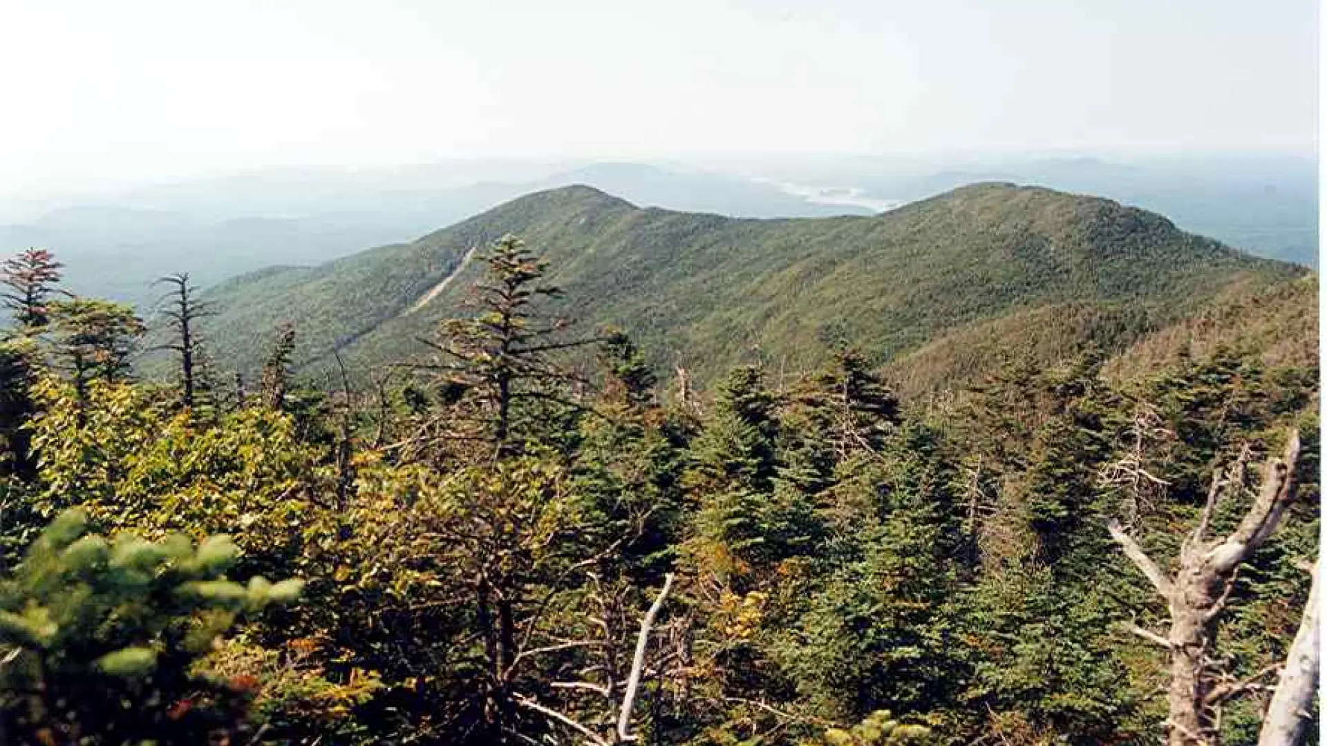
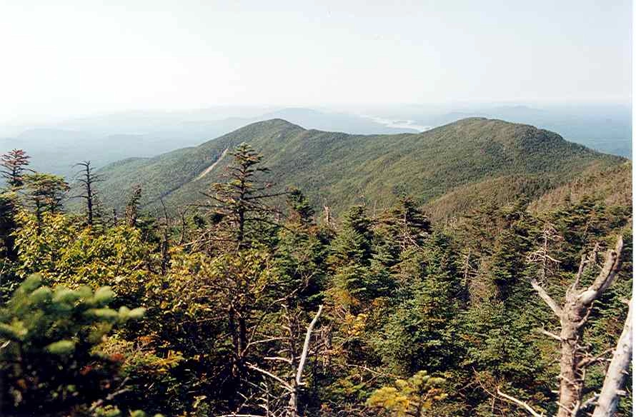
The Seward Range: Emmons, Donaldson, and Seward
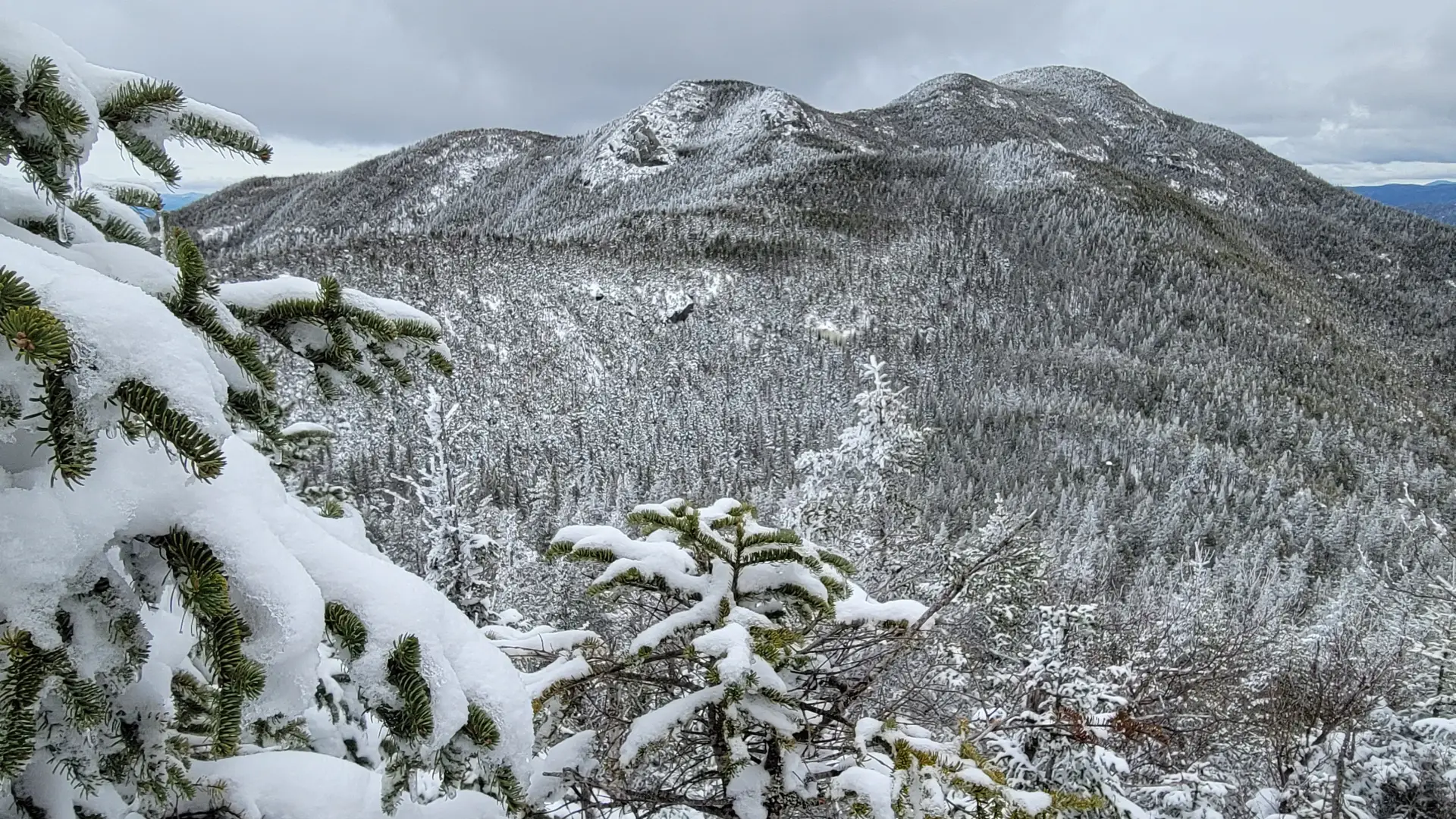
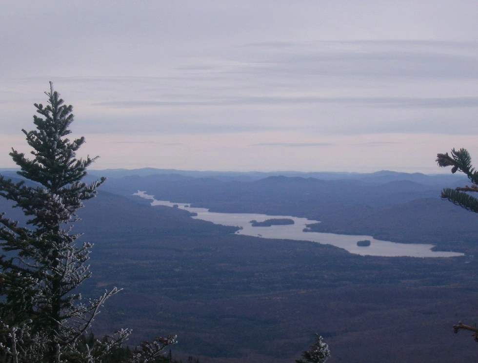
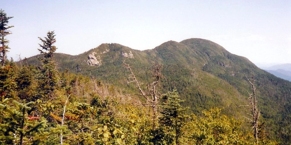
The Seward Range is one of the most remote areas in the Adirondack High Peaks, and consists of Seward, Donaldson, Emmons, and Seymour mountains. Seymour is separated from the other three by Ouluska Pass, and typically hiked by itself. There is no official trail to the summits of each of these mountains; hikers should be prepared for a long day on herd paths and be comfortable navigating with map & compass. A successful hike of the Sewards involves research, physical fitness, the right gear, and knowledge of Leave No Trace principles.
Key takeaways
- Elevation: Seward has an elevation of 4,361 feet, Donaldson has an elevation of 4,140 feet, and Emmons has an elevation of 4,040 feet
- Elevation gain: 4,050 feet
- Distance: 15.75 miles round trip
- Seward is High Peak #24, Donaldson is High Peak #33, and Emmons is High Peak #40
- Hike includes trail junctions, steep rock slab, unmarked trail, and bridges
- Based on a clockwise look up the north side of Seward and down Calkins Brook
Hiking the Seward Range
There are two herd paths leading the summits of these mountains. A loop hike will be described here, ascending the more rugged path up Seward and descending the more gentle Calkins Brook herd path.
From the parking area, you'll be on a marked trail (Blueberry Trail) for almost 5.0 miles. A hiking trail and horse trail leave the parking lot; the two parallel each other, but the horse trail is considerably wetter and it is preferred route to use the hiking trail. Follow the red DEC trail markers. At 1.2 miles, a trail will come in on your right; this trail leads to Shattuck Clearing and the Calkins Brook herd path you will descend. Stay straight. The trail crosses several brooks along the way, with one large one at 3.5 miles from the parking area. At 4.5 miles, the Blueberry Lean-to comes into view. Just beyond the lean-to, the trail joins the Ward Brook Truck Trail, which comes from private property. Turn right. The horse trail intersects your path at 4.7 miles. The next brook you come to marks the start of the herd path up Seward Mountain. There is typically a cairn signaling the start of the path. There's a bridge here as well.
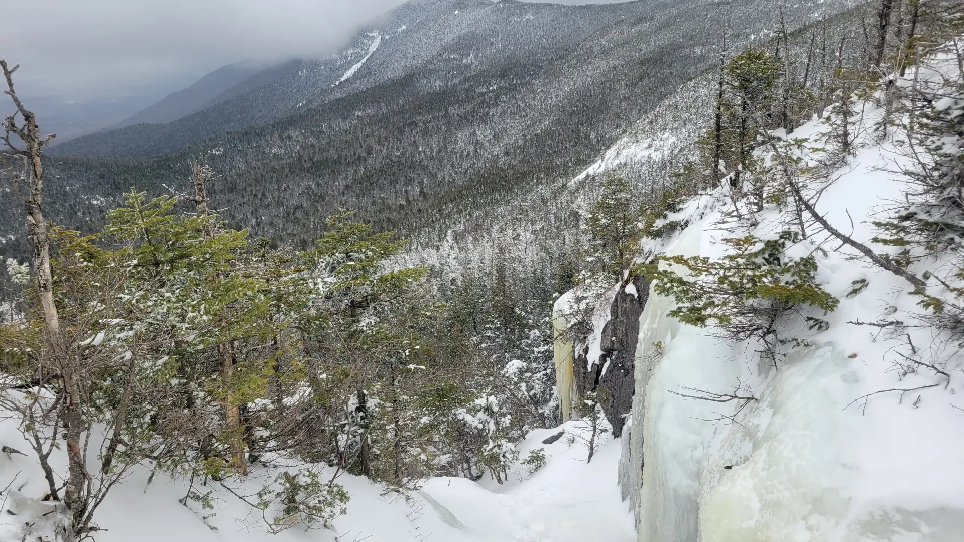
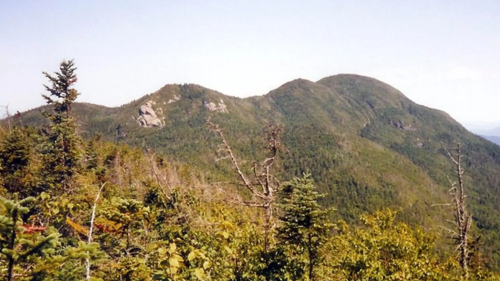
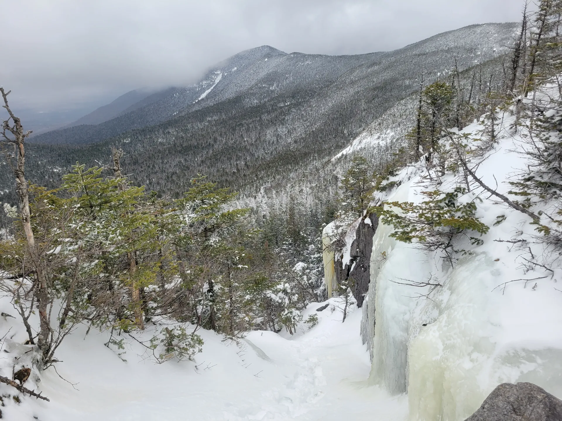
There will be no more trail markers until you descend off the Calkins Brook herd path. Within the first 0.5 miles of the herd path, there are traces of an old tote road; take care to stay on the herd path. After 0.5 miles the steep climbing begins. The route is rugged, challenging, and eroded. You climb up to a cliff on the side of Seward, which can be bypassed on the left. Follow the ridge to the southwest to the summit, and after 7 miles you will see the wooden sign for the summit of Seward.
A herd path descends to the south off Seward toward Donaldson. The route to Donaldson and then to Emmons follows the ridge, only occasionally detouring to avoid blowdown. From Donaldson (whose summit is just off trail to the left, and is hard to miss), there is a 300 foot descent into a col and then a 200 foot climb to the summit of Emmons. The reverse will need to be done to return. Be advised, it can be very muddy along this ridge.
To return, head back to Donaldson from Emmons. Approximately 0.2 miles from the summit of Donaldson (back toward Seward) the Calkins Brook herd path hangs a left and descends. From here, it's 2.5 miles on the unmarked path. It is not as steep as the path up Seward, but does indeed have some steep sections and stream crossings. Once off the herd path, turn right and follow the marked trail 2.2 miles back to the original trail you started your day on. Turn left and it's 1.5 miles back to the parking area.
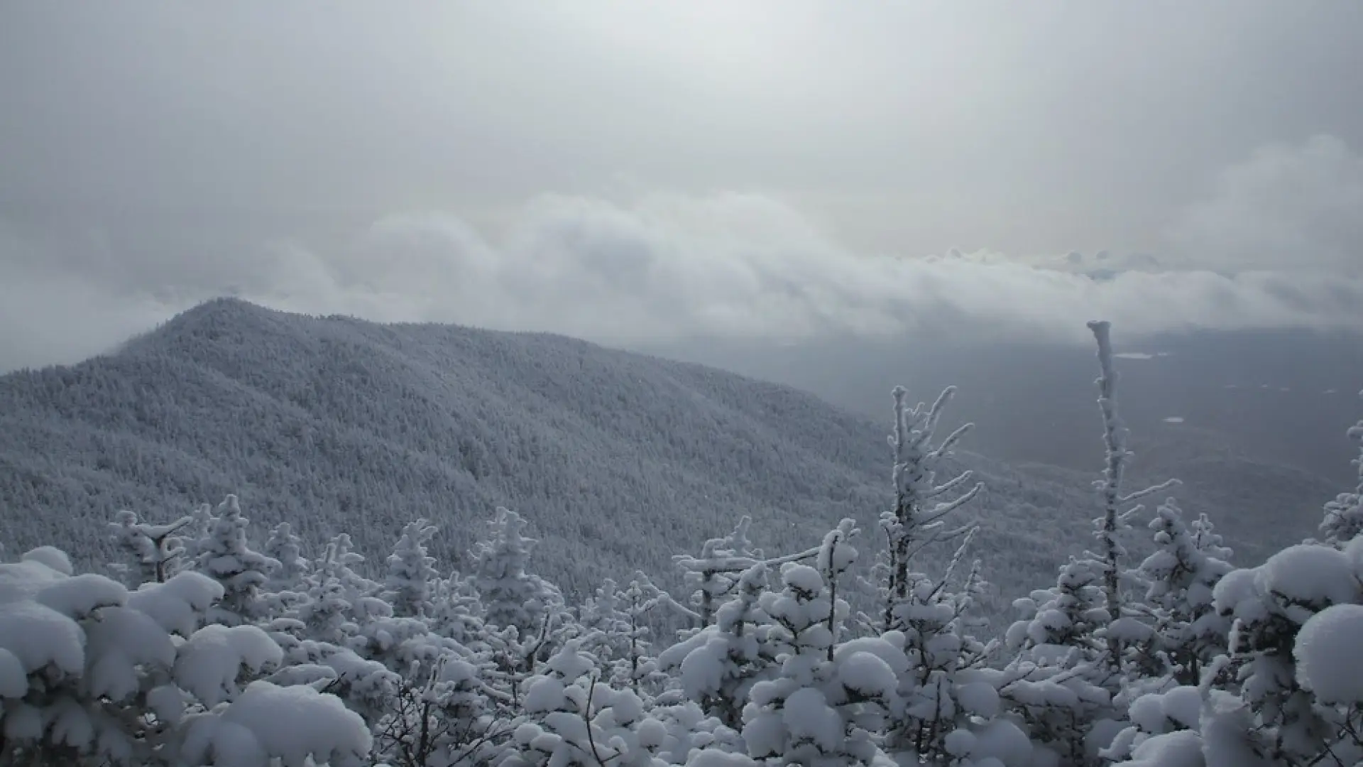
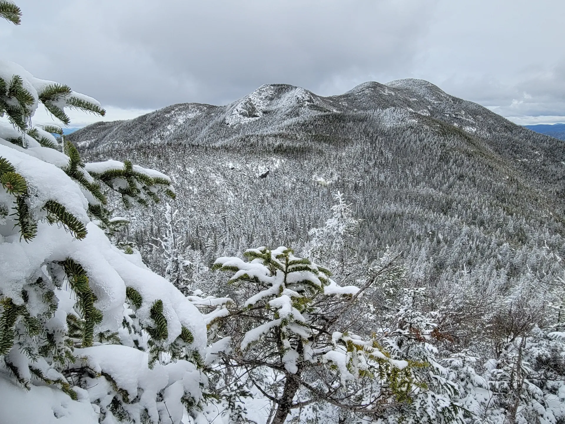
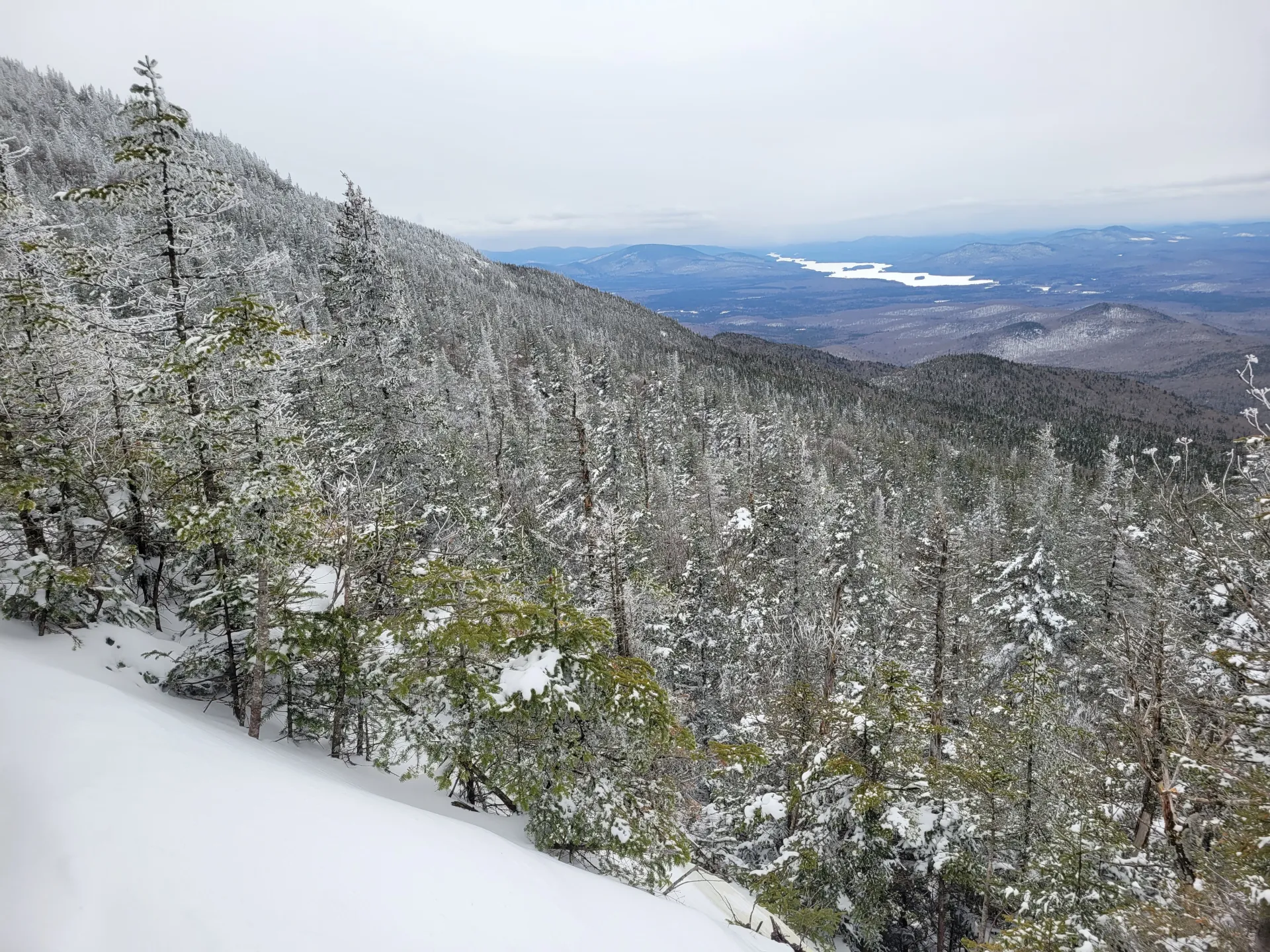
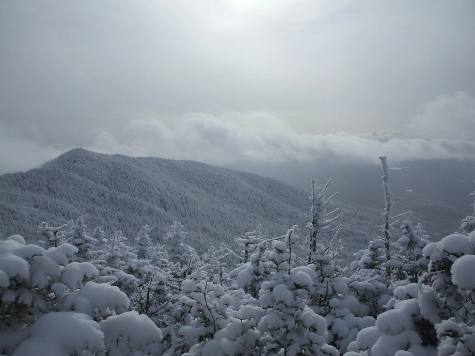
The Seward Range in the winter
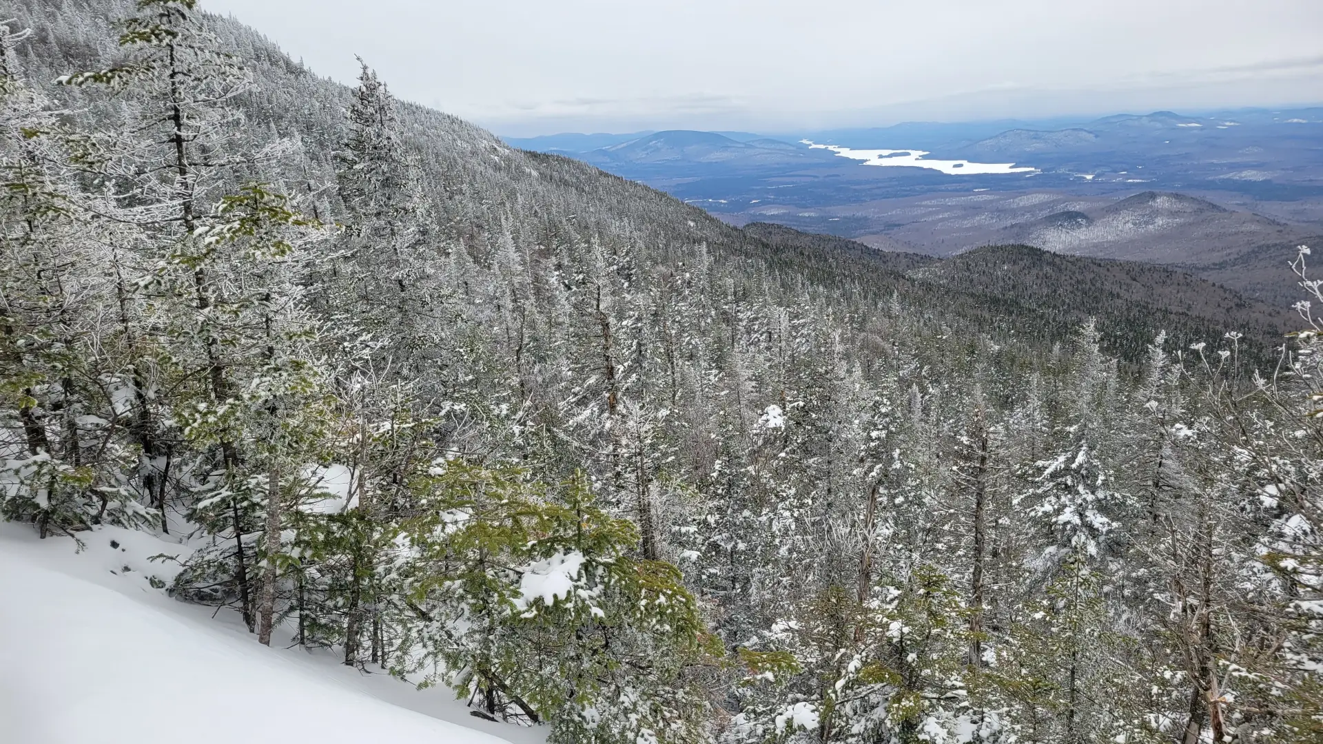
The Seward Range is a challenging range that should only be attempted by experienced hikers, especially in winter, so make sure you are prepared. Snowshoes are necessary, and snow spikes or crampons are needed, especially on the southern side of Seward where there are some steep, rocky sections that can be ice-covered in the winter. Plan on temperatures in the higher elevations being at least 20 degrees colder than at the trailhead, not including the windchill. Bring several extra non-cotton layers, a headlamp with spare batteries, extra food, a windbreaker, goggles, a face mask, and supplies for spending the night in case of an emergency. When the road is closed in the winter, skiing the road in, along with portions of the trail to the base of the mountain, is a good option.
Explore more trails
Do the Sewards sound amazing, but a little more than you want to tackle right now? No need to stress, we can help you find a uniquely Saranac Lake trail that’s right for you!
How to get there
In Saranac Lake, turn left onto Route 3 and stay on this route toward Tupper Lake. Stay on Route 3 for 12.5 miles. Then, turn left onto Corey's Road. Follow Corey's Road for 2.5 miles, until it turns into Ampersand Road. Stay the course and continue along the gravel road for another 3.0 miles. A parking lot is on the right.
Be advised, in winter, this road either A) may not be maintained or B) closed due to conditions. In this case, you will have to park at the trailhead for Raquette Fall, which adds significant milage to the hike. Please check with local guides or outfitters to see if Corey's Road is open.
