- Out and Back
- Out and Back
- Out and Back


About
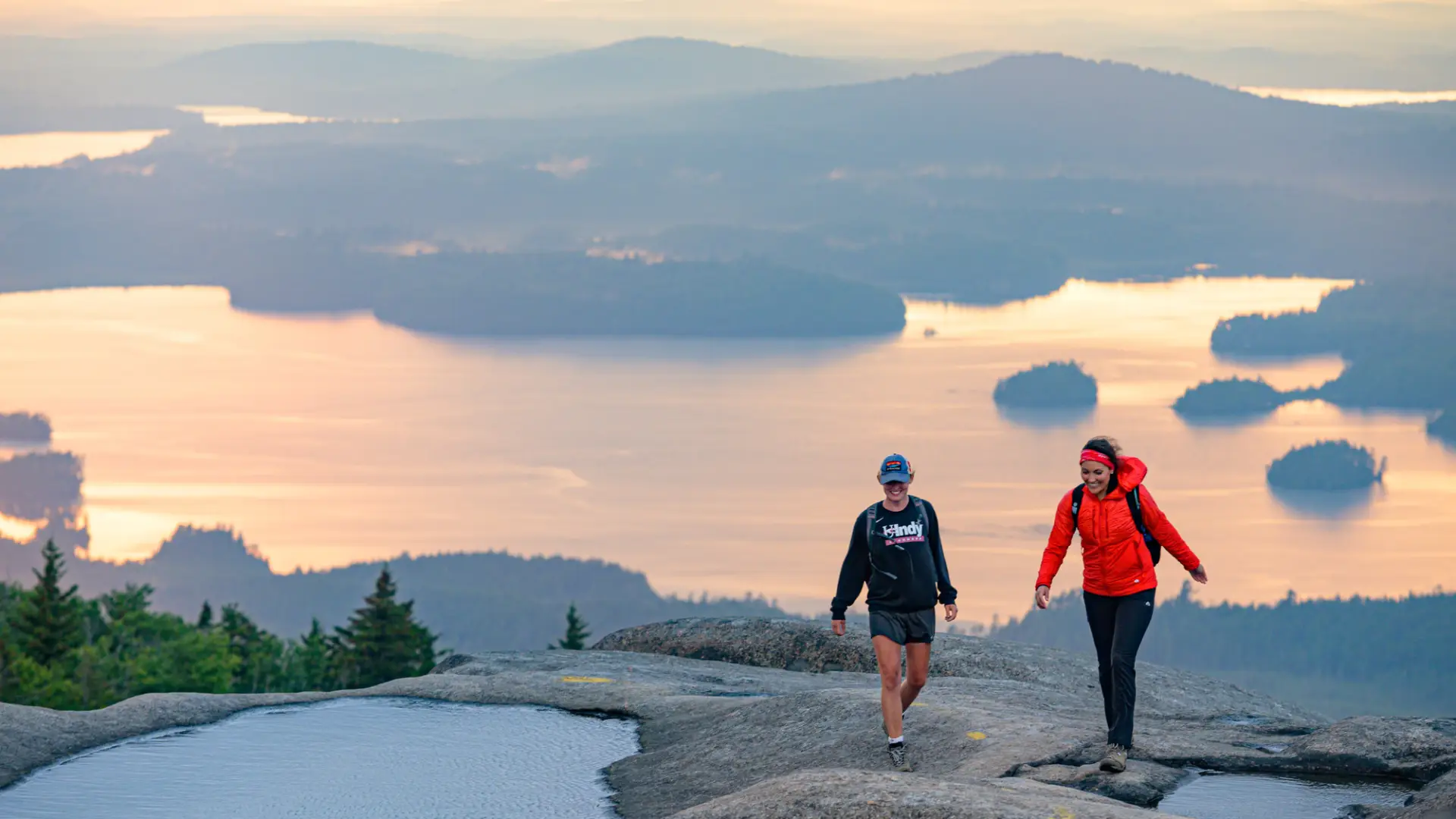
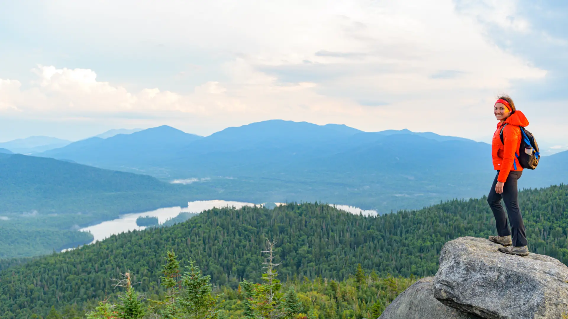
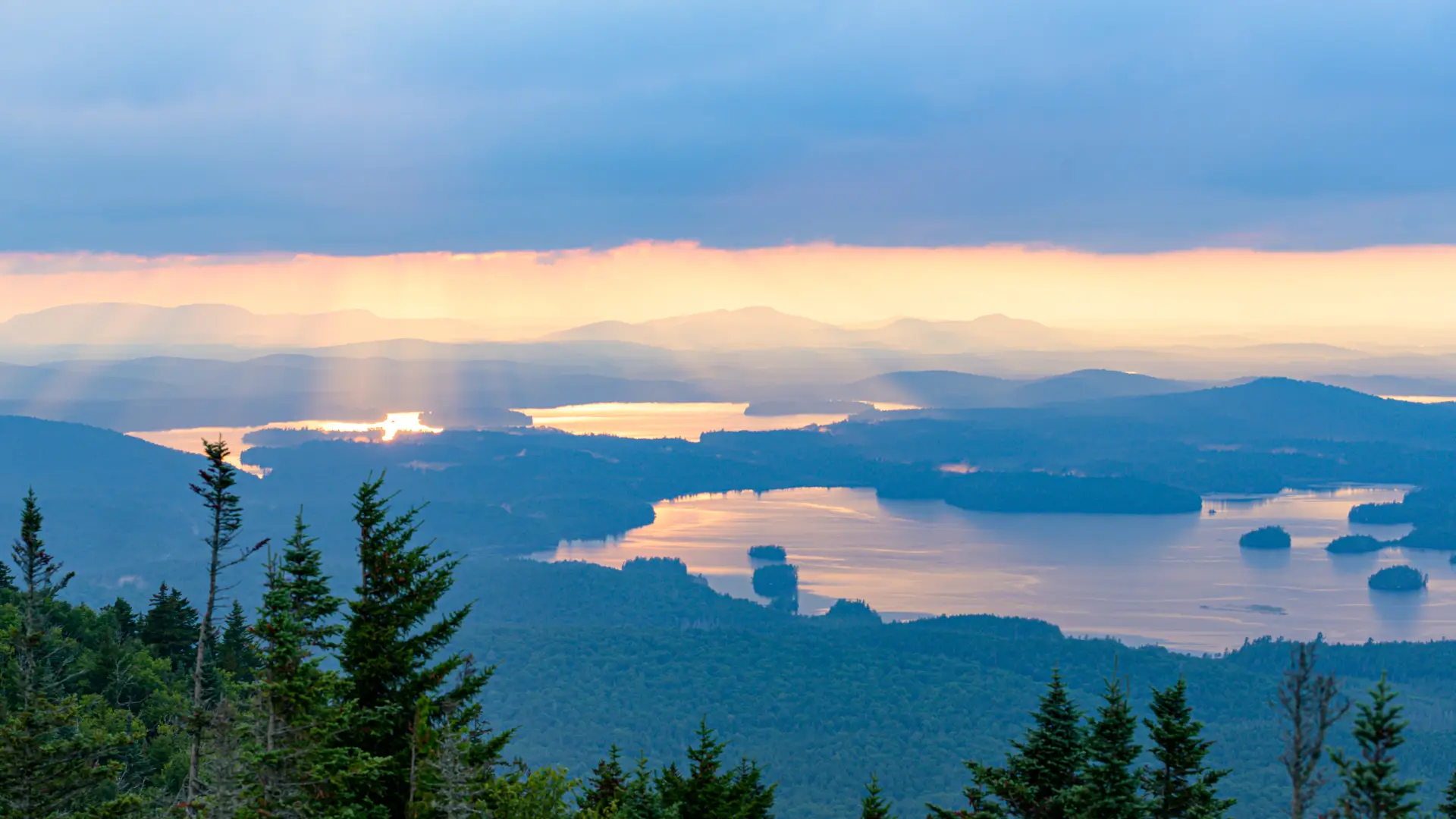
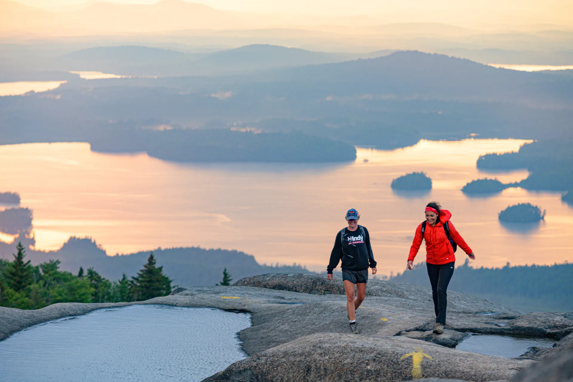
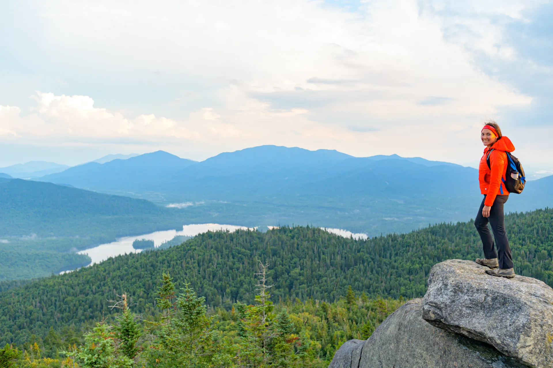
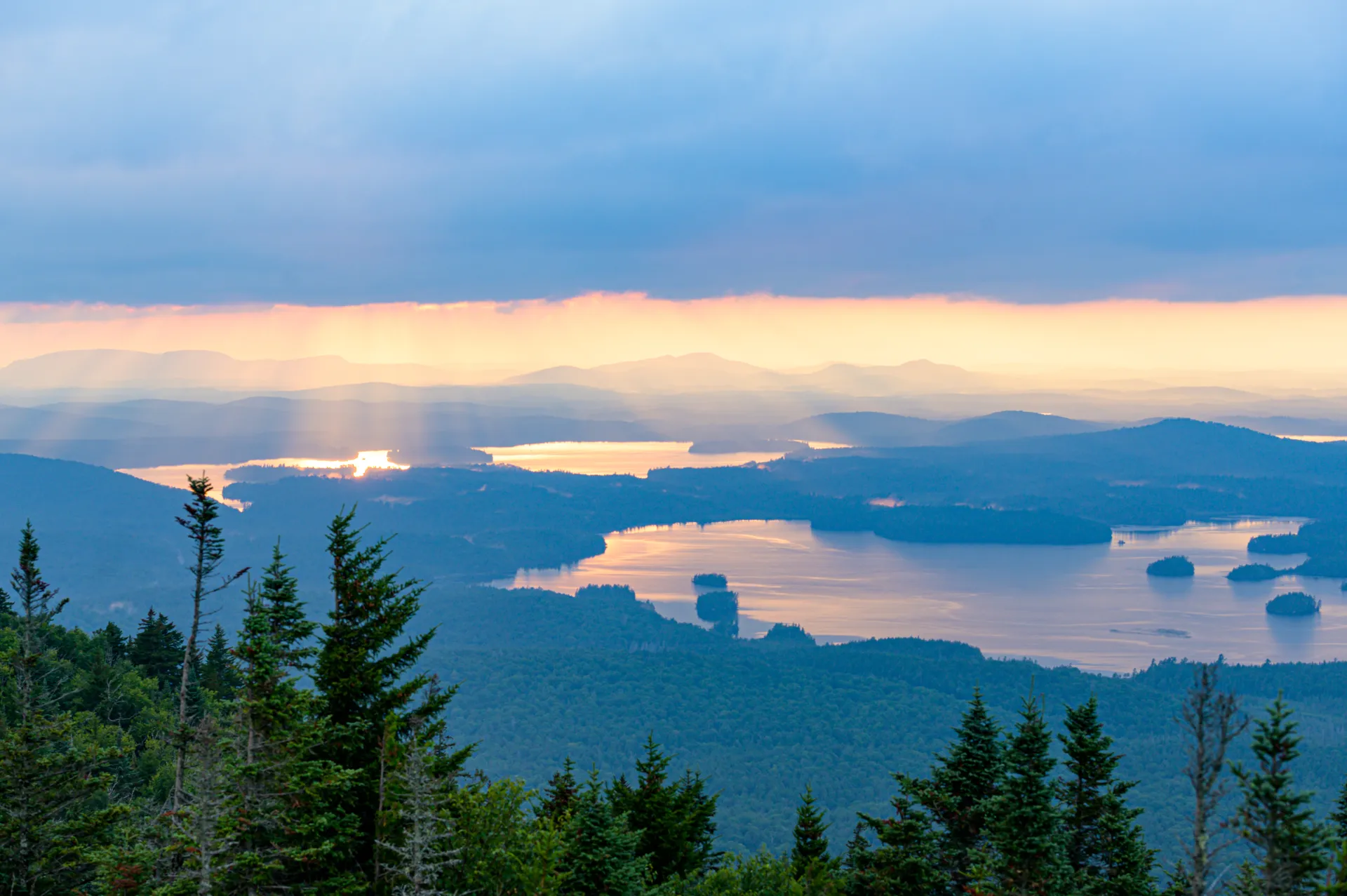
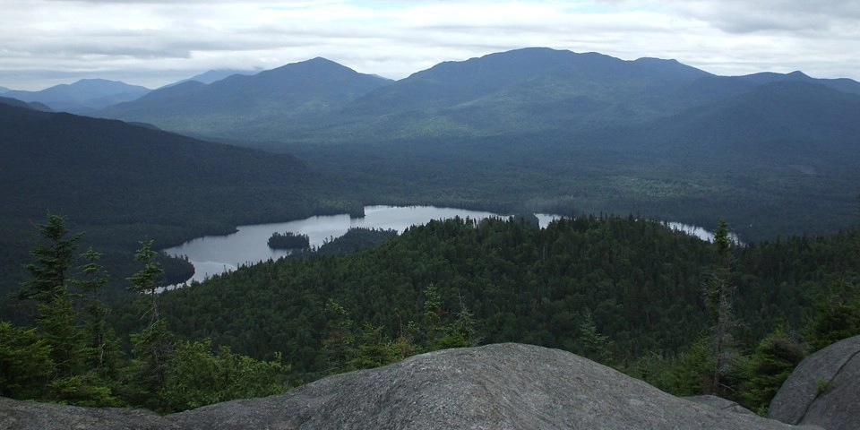
Ampersand Mountain's open summit provides breathtaking 360-degree views from within the High Peaks Wilderness Area. The first half of the trail is fairly easy, but once it starts going up it's relentlessly steep until the top. A successful hike of Ampersand, one of the Saranac Lake 6ers, involves research, physical fitness, the right gear, and knowledge of Leave No Trace principles.
Key takeaways
- Distance: 5.4 miles round trip
- Elevation: 3,353 feet
- Elevation Gain: 1,780 feet
- Hike includes steep rock slab and an exposed summit
Hiking Ampersand Mountain
From the parking area, carefully cross Route 3 to get to the trailhead. The path descends slightly to a brook crossing before starting an easy hike that gently rolls up and down through a mature forest. At 0.8 mile there is a long boardwalk across a wet section; soon after that the trail begins a slow ascent, then it gets steeper as it approaches the location of the old fire observer’s cabin, on the right at 1.7 miles — rubble is all that remains of the building.
Past the cabin site, the grade increases and eventually becomes very steep as it reaches a stone staircase, which was built to alleviate the heavy erosion caused by water runoff and heavy foot traffic. The trail remains rocky from this point on. Take note that footing can be slippery along this stretch, especially during wet weather.
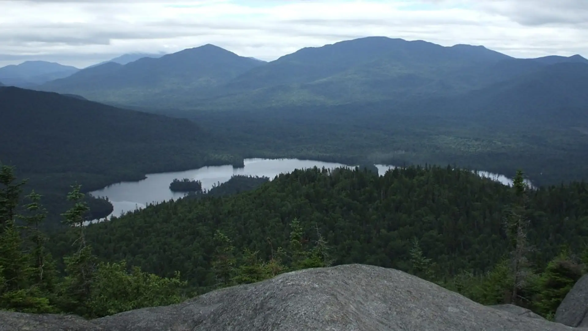
The path reaches a ridge and levels out at 2.4 miles, and soon after that it enters a spectacular section with enormous, jumbled boulders the size of small houses. Take a few minutes to explore the narrow passageways here, then swing right to climb over open rock to the summit at 2.7 miles.
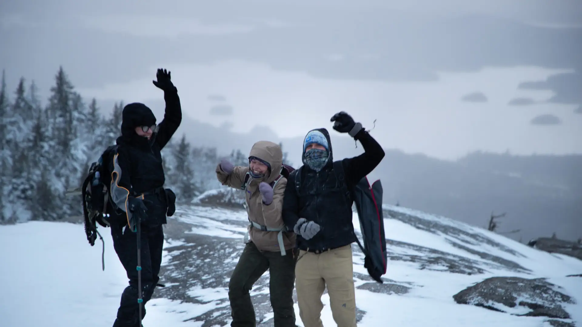
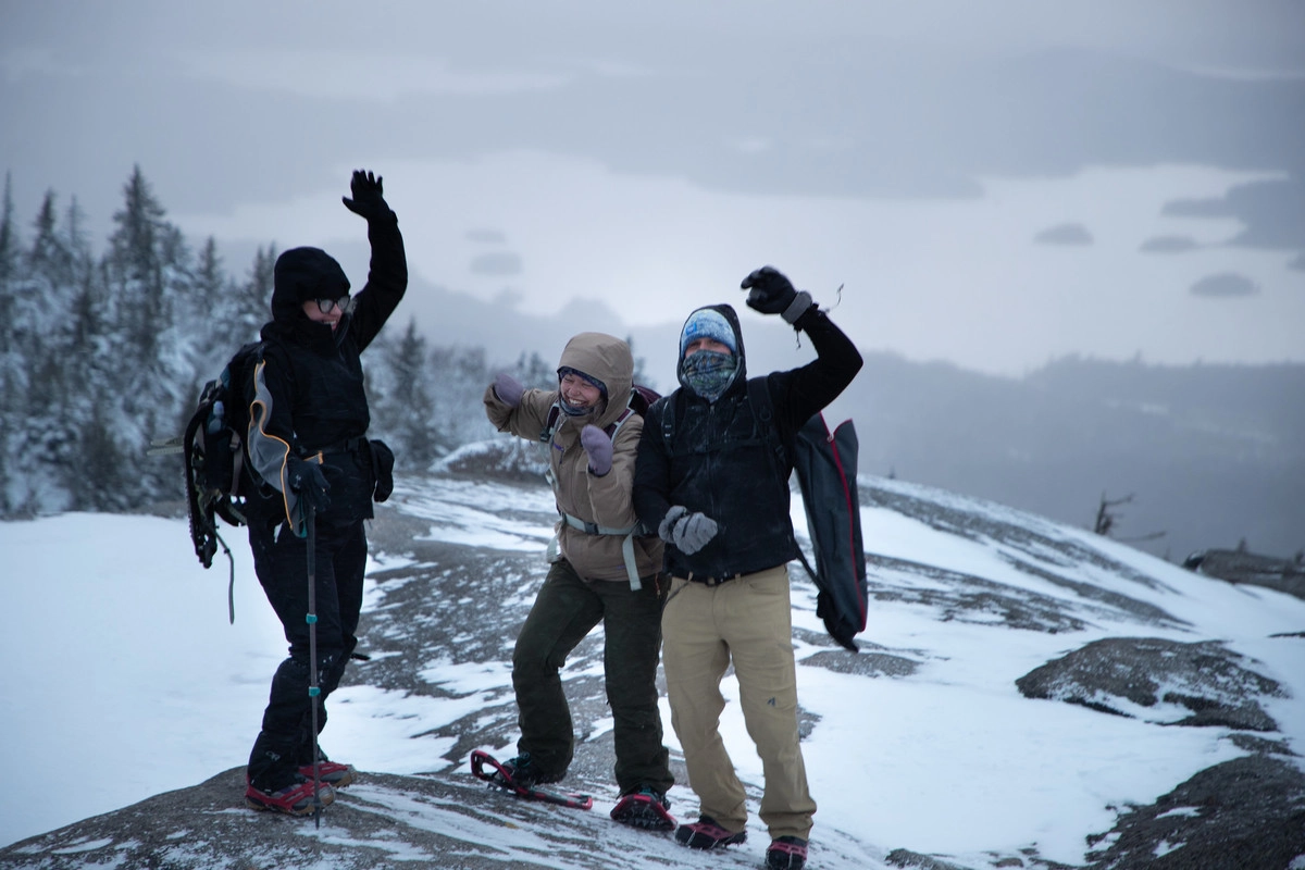
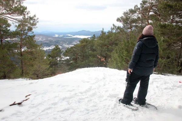
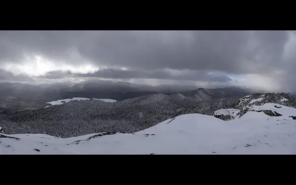
Ampersand Mountain in winter
This is a challenging snowshoe. Snowshoes are necessary to avoid post-holing through the snowpack, and snow spikes are required to ascend the mountain's steeper sections. Extra layers of non-cotton clothing, a windbreaker, emergency blanket, first-aid kit, headlamp with extra batteries, and plenty of food and water are essential items for any winter excursion. The extra layers and windbreaker are especially important on the exposed summit, which will be much colder than the lower sections of the mountain. Ampersand should only be attempted by experienced hikers, especially in winter, so make sure you are prepared.
Explore more trails in Saranac Lake
Does Ampersand Mountain sound amazing, but a little more than you want to tackle right now? No need to stress, we can help you find a uniquely Saranac Lake trail that’s right for you!
How to get there
From downtown Saranac Lake, turn right onto Route 3, heading west toward Tupper Lake. The parking area is on the right after about 8 miles. The trailhead is across the road on the left — be very careful crossing the main highway.
Emergency Information
Related Content

Venture out on a decidedly different hike this fall to explore a stand of Old Growth forest. These old trees have been Adirondack residents for hundreds of years, and are some of the most celebrated residents in the area!
Winter hiking offers unique rewards, but also different challenges. Make sure you are prepared for your next hike!
Ampersand Mountain is a wonderful peak that sits about 8 miles south of the village of Saranac Lake, off Route 3 going toward Tupper Lake. While the trail is wildly popular in the summer, a wintertime excursion up Ampersand is likely to be both quiet...
