- Out and Back
- Out and Back
- Out and Back


About
The Raquette Falls Trail is one of the most popular Adirondack backcountry ski routes in winter, and a wonderful hiking route along the river in summer.
Key takeaways
- Distance: 9 miles round trip
- Elevation gain: 1,050 feet
- Hike includes trail junctions and a bridge
Hiking to Raquette Falls
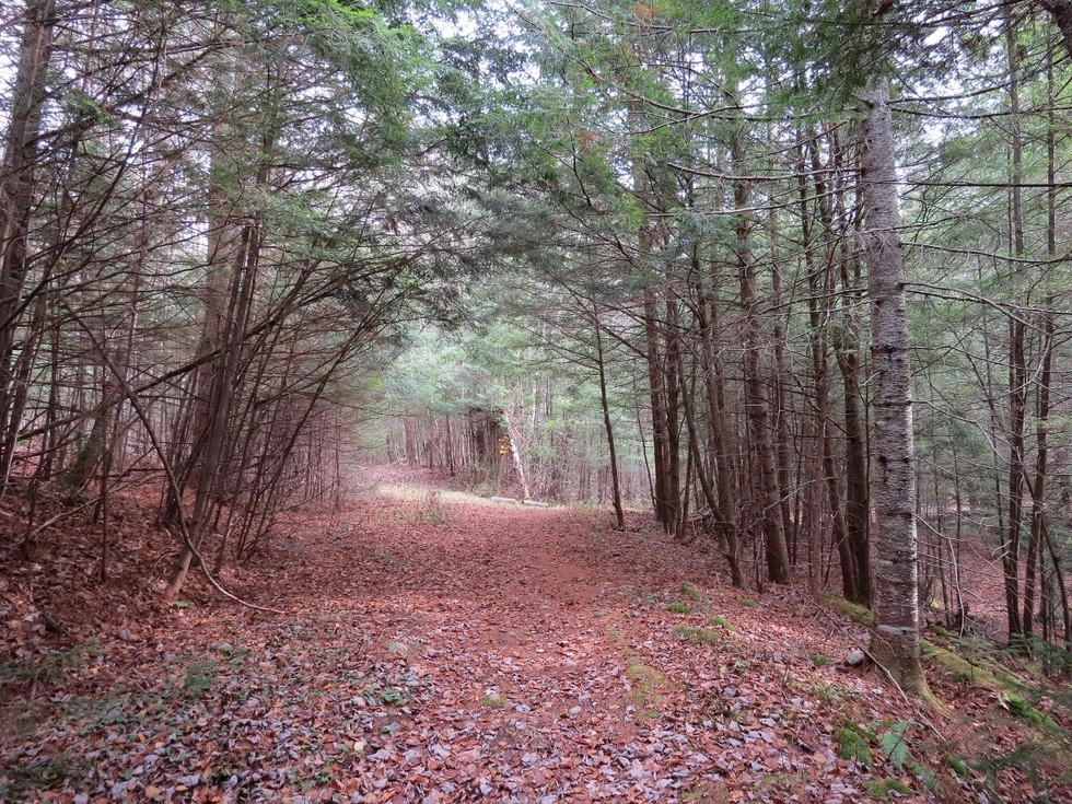
Raquette Falls is much more popular as a ski trail, but it does get a bit of use during non-snow months. From the trailhead you will enter the woods on a wide trail which continues all the way through to the DEC outpost. The trail flows over undulating hills with scenic views out over the Raquette River. There are a couple short steep descents that bring you back down to the river’s edge just shy of the DEC outpost.
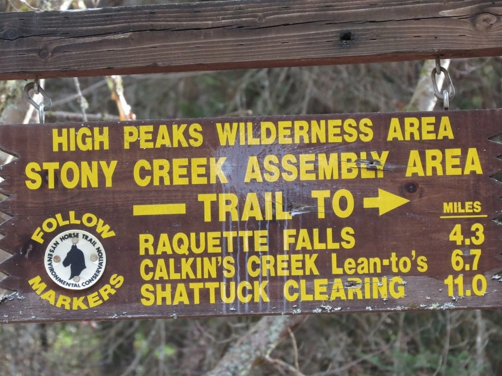
At the DEC outpost there are three trails. Right leads down to the canoe launch and is part of the canoe carry and the Northern Forest Canoe Trail. Left leads over to Dawson Pond, where the trail is very hard to locate.
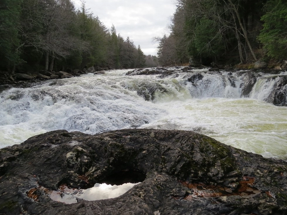
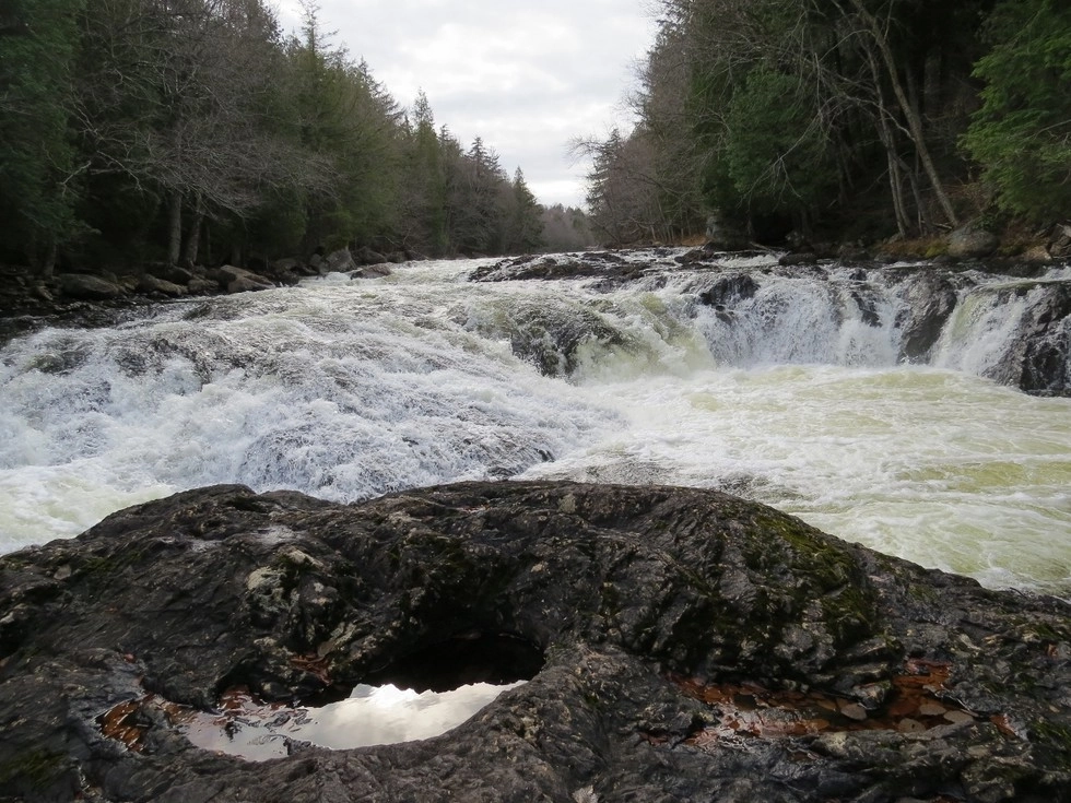
Straight leads to the falls, which is about 0.25 miles away. Start on a forest road and then take a right onto a narrow foot trail.
Hikers can continue past the Lower Falls on a trail with rough, and at times, steep terrain along the Raquette River to the junction with the canoe carry trail. To add this hiking loop would require about 2.5 more miles of hiking. The total round trip distance would be just over 11 miles.
PLEASE NOTE: The narrow foot trail can be a bit slippery with odd footing and steep drops to the river, so take your time and be careful, especially with young children.
Raquette Falls in the winter
This trail is not groomed, but makes for a lovely backcountry outing. While fantastic on snowshoes, many choose to crosscountry ski this trail in the winter. Take care in a couple steep spots, especially the one that drops back down towards the water as you start approaching the Outpost. Make sure you are prepared for winter conditions.
Explore more trails
Does Raquette Falls sound amazing, but a little more than you want to tackle right now? No need to stress, we can help you find a unique trail that’s right for you!
Camping
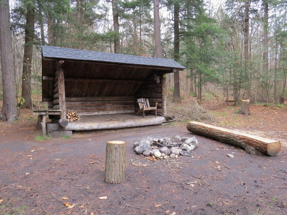
There are several lean-to locations along the Raquette River which can be accessed from the trail for camping. The first will be on your right after just a tenth of a mile after the start of the trail, and reached after another short hike. The next is 1.5 down the trail on your right.
Birding
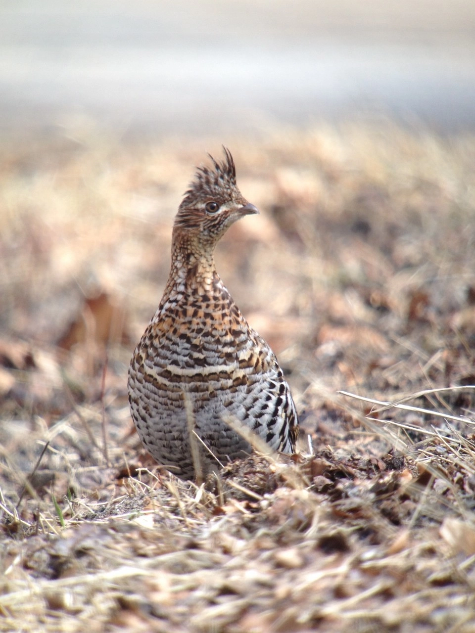
This river and forest trail is home to many arboreal birds, with many varieties of warbler. The old woods road ends at a grassy clearing that is near the rapids and final cascade.
How to get there
Follow Route 3 toward Tupper Lake. Continue to Coreys Road on the left. Follow Coreys Road for 2.6 miles to the trailhead parking lot on the right.
Emergency Information
Related Content
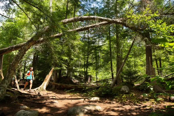
Saranac Lake is home to some awesome options for trail runners!



