Round Trip
0.8 miles
1.3 kilometers

Elevation Gain
The total amount of vertical ascent (uphill climbing) on a hike. This is cumulative gain, totalling the elevation change of the uphill segments from a round-trip hike.
30 feet
9.1 meters

Route Type
A hiking trail may be classified as a Loop, Out and Back, Point to Point, Bushwhack, or Multi-day Thru Hike, with some destinations having more than one of these ways as a hiking option.
  • Out and Back
Round Trip
0.8 miles
1.3 kilometers

Route Type
A hiking trail may be classified as a Loop, Out and Back, Point to Point, Bushwhack, or Multi-day Thru Hike, with some destinations having more than one of these ways as a hiking option
  • Out and Back
Elevation
The height of the summit or destination, from sea level.
Elevation Gain
The total amount of vertical ascent (uphill climbing) on a hike. This is cumulative gain, totalling the elevation change of the uphill segments from a round-trip hike.
30 feet
9.1 meters

Round Trip
0.8 miles
1.3 kilometers

Route Type
A hiking trail may be classified as a Loop, Out and Back, Point to Point, Bushwhack, or Multi-day Thru Hike, with some destinations having more than one of these ways as a hiking option
  • Out and Back
Elevation
The total amount of vertical ascent (uphill climbing) on a hike. This is cumulative gain, totalling the elevation change of the uphill segments from a round-trip hike.
Elevation Gain
The total amount of vertical ascent (uphill climbing) on a hike. This is cumulative gain, totalling the elevation change of the uphill segments from a round-trip hike.
30 feet
9.1 meters

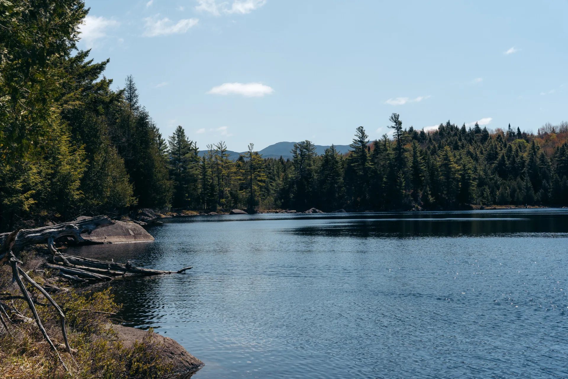
A view over a small pond of the distance mountains
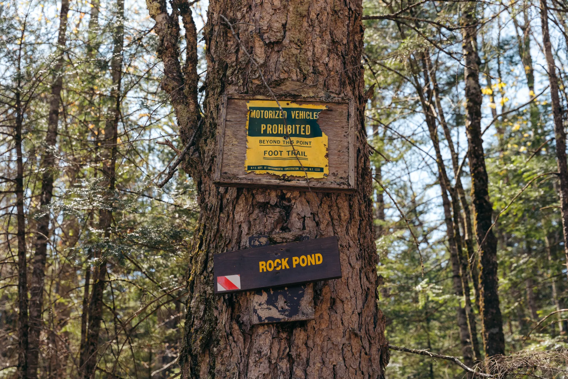
A yellow and brown sign for rock pond on a tree
View all photos
trail highlights
trail features
trail category
Lakes/Ponds
Short

About

At less than a mile long, Rock Pond is perfect for families and for anyone who wants to stretch their legs.

Key takeaways

  • Distance: 0.8 miles round trip
  • Elevation gain: around 30 feet

Hiking to Rock Pond

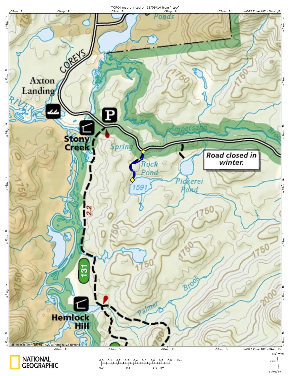
The trailhead is simply marked with a small sign; a pull-off for 3-4 vehicles is the best indication of the trailhead.

The trail starts along through an open forest before entering an attractive area of hemlocks. There is a small rise in the beginning before you start to descend to the shore of Rock Pond. The shore is boulder strewn making for some excellent viewing areas. Wide open areas beneath the tall stands of trees offers excellent spots for having a lunch, if the weather agrees. The Seward Range can be seen towering to the back of the pond.

Rock Pond in the winter

During the winter the road is usually closed past the trailhead for Raquette Falls. In many instances it is not and can be driven to this trailhead. If the gate is closed or road is impassable, it adds 1.2 miles round trip. This trail is doable on both skis and snowshoes. Be wary of stepping out on ice in the winter.

Explore more trails in Saranac Lake

Looking to hike some more in Saranac Lake? We can help you find more uniquely Saranac Lake trails!

Paddling

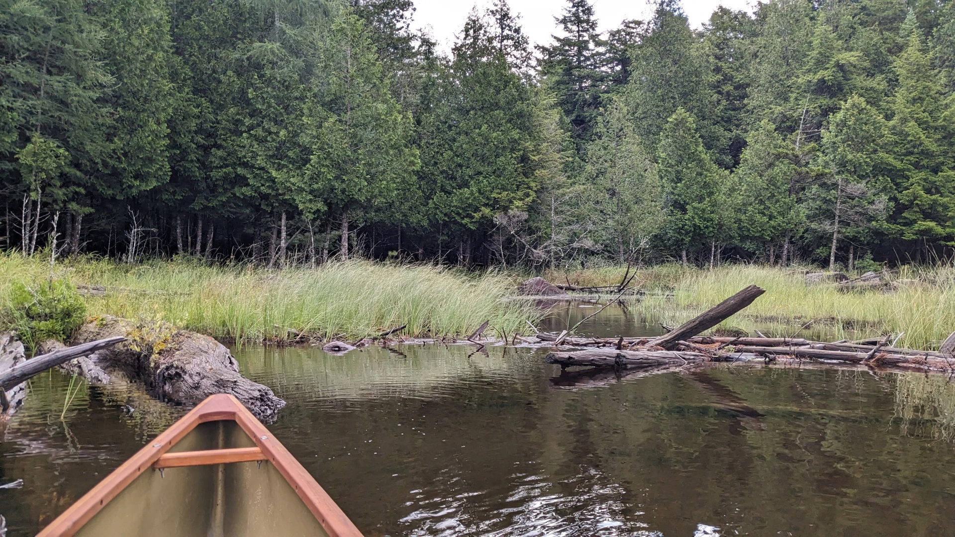
A popular local paddle that only requires a short carry, exploring the nearly perfectly circular pond. Paddling the perimeter of the pond is around a 0.5 mile trip.

Fishing

The shoreline is shallow and makes for great fly fishing during the hatch. Casting from your canoe is also an option, being a short carry.

How to get there

From the intersection of Routes 3 and 86 in Saranac Lake follow Route 3 toward Tupper Lake. Continue on Route 3 to Coreys Road on the left. Follow Coreys Road for just around 3.5 miles to the trailhead on the right. 

Emergency Information
If you get lost or injured, remain calm and stay put. If you have cell service, call 911 or the DEC Forest Ranger Dispatch, 833-NYS-RANGERS (833-697-7264).
 
Plan ahead and hike smart. Bring a map, extra food, water, and warm clothing, and check the weather before you go. Stay aware of your surroundings and landmarks. If you get turned around, don’t panic—stop, think, and stay where you are. Let someone know your route and expected return time.
Additional Info
Map
×