About
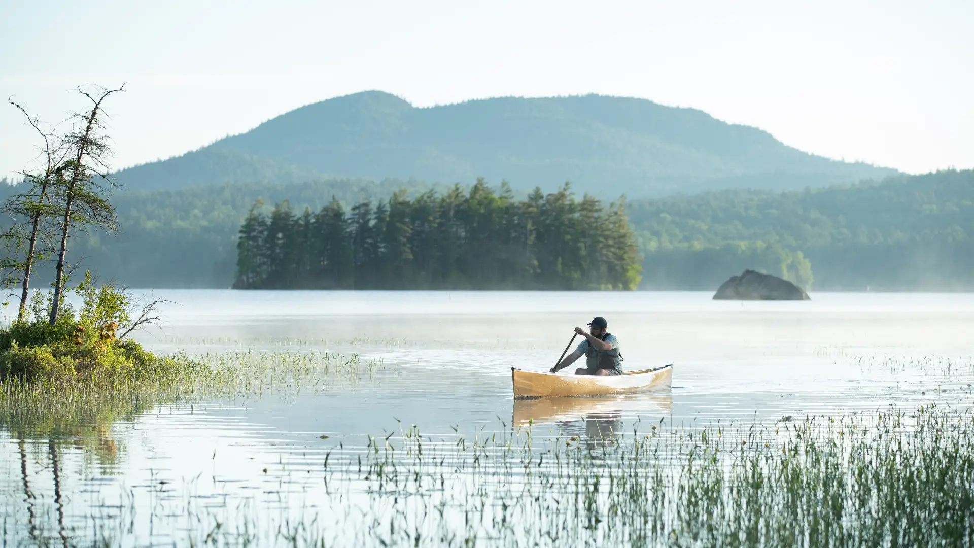
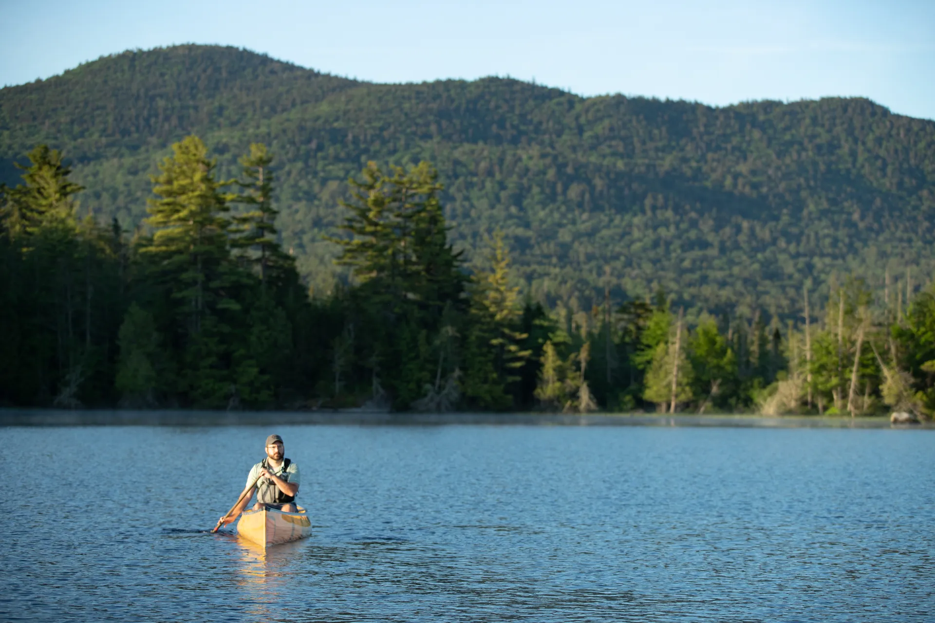
The Middle Saranac Lake to Lower Saranac Lake trip offers spectacular views and the chance to paddle through the manually operated Upper Locks. The route begins on South Creek where you are surrounded by bog plants including sundew, pitcher plants, sheep laurel, steeplebush, yellow pond lily, white water lilies, pickerelweed, bladderworts, blue flag, Labrador tea, and bog rosemary. Tamarack or eastern larch trees grow alongside black spruce trees in the bog areas. Middle Saranac Lake has numerous islands, as well as beautiful white sand beaches that are great for swimming.
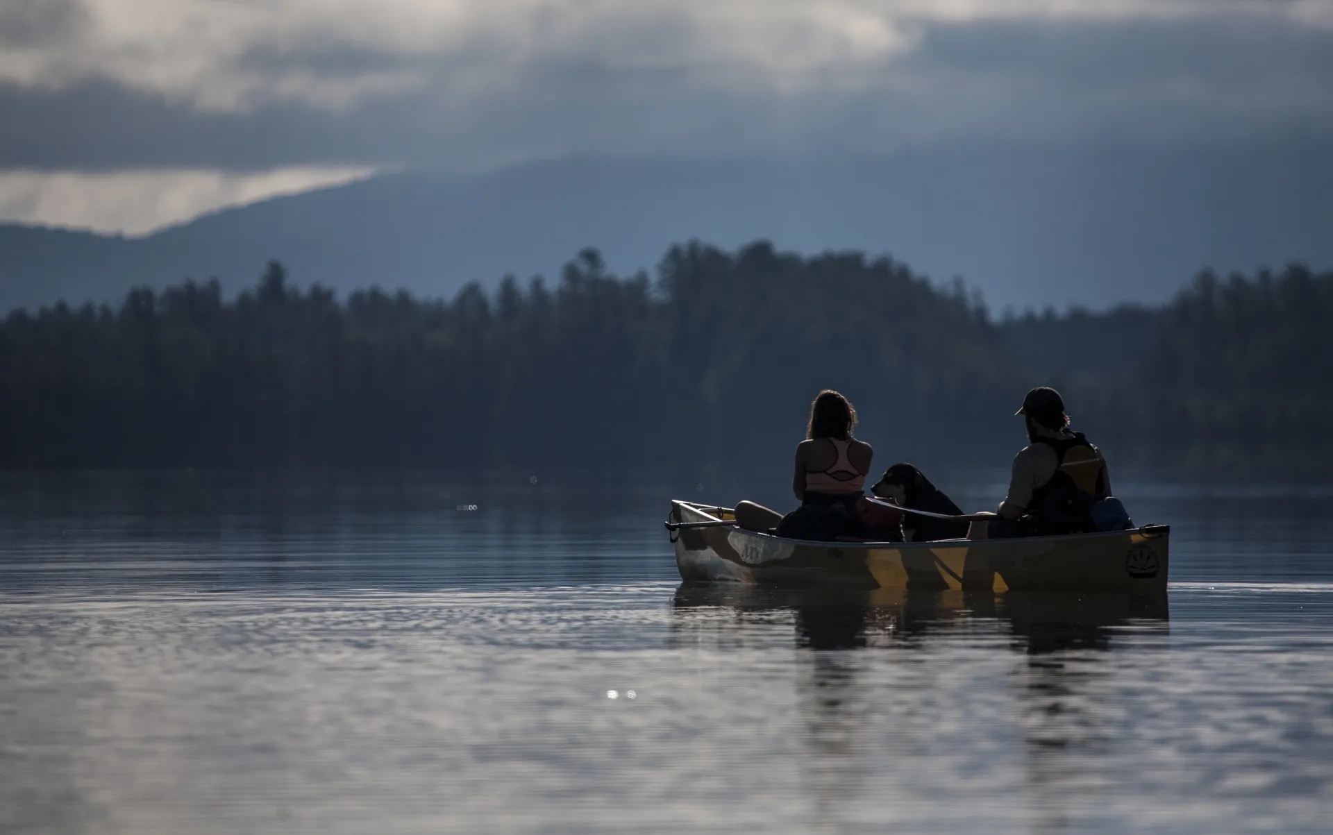
From Middle Saranac Lake you wind your way through the Saranac River and into the Upper Locks before coming into Lower Saranac Lake. There are plenty of opportunities to observe wildlife into loons, osprey, eagles, pileated woodpeckers, black ducks, mergansers, great blue herons, broad-winged hawks, red-winged blackbirds, and other birds. In the creek and river areas, you may be able to observe beavers or otters.
Fact check
- Total Distance: 7 miles one way
- Length of Time: 4-5 hours
- No portage
- Flat Water
- One way
- Motorboat access is available at State Bridge Boat Landing
Logistics
- Public parking is available at South Creek Access & State Bridge Boat Launch (Second Pond/Saranac Islands Public Campgrounds)
- Put in at South Creek Access. Take out at State Bridge. Note that St. Regis Canoe Outfitters offers day packages and shuttles.
The paddle
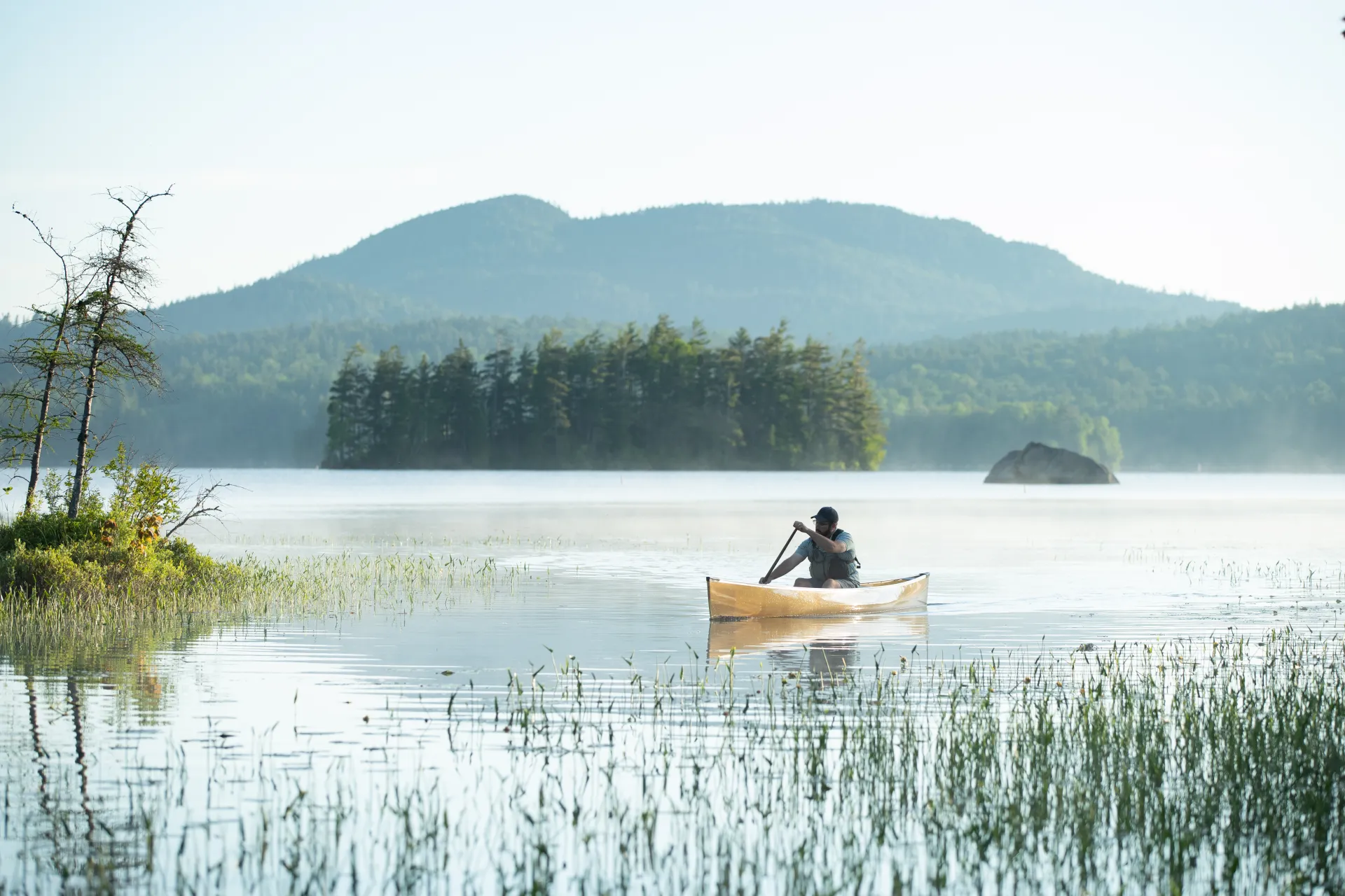
Put in at South Creek and paddle into Middle Saranac Lake veering towards the right until you come to the Saranac River. The river meanders with numerous curves. Paddle until you come to the manually operated Upper Locks, tended by a lock keeper in summer. Directions for operation are posted for other times. Follow the current of the river as it takes you out towards Lower Saranac Lake. You will pass through “The Narrows” with campsite 45 on the left-- before you begin to see clusters of islands. Bluff Island is a popular place to stop for a day trip, which offers a great place to swim or hike up to the bluff.
Find out more
Adirondack Paddler’s Map: The Saranac Lakes
Other Features
Details
Related Content
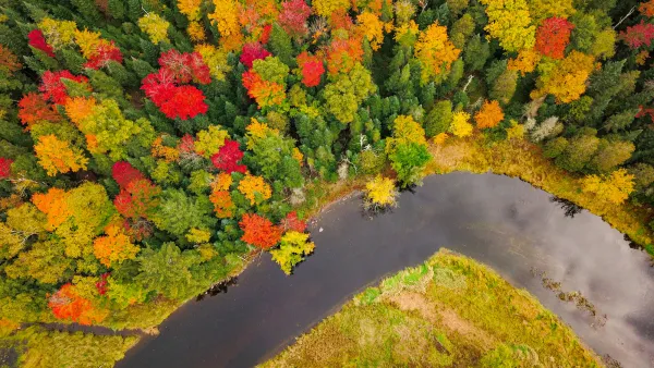
Explore Saranac Lake’s waterways this fall with day paddles and multi-day trips that showcase vibrant foliage, serene lakes, and cozy camping opportunities.
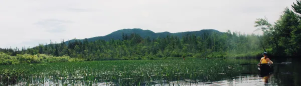
Submitted by guest writer Rivka Cilley We started out early on a cool, crisp morning in late June. We unloaded our canoes and gear at South Creek and set out on our full day trip from Middle to Lower Saranac Lake. The water temperature was warmer than...
