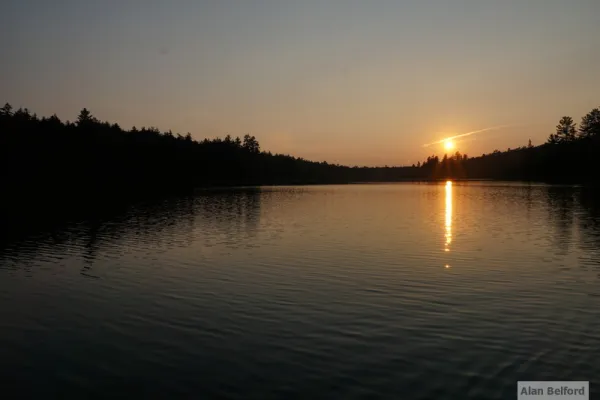
Your Gateway to Paddling Paradise
St. Regis Canoe Area
Your Gateway to Paddling Paradise
St. Regis Canoe Area
Your Gateway to Paddling Paradise
St. Regis Canoe Area
Your Gateway to Paddling Paradise
St. Regis Canoe Area
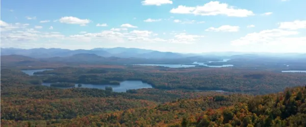
18,400 acres of bliss
A paddler’s guide to the St. Regis Canoe Area
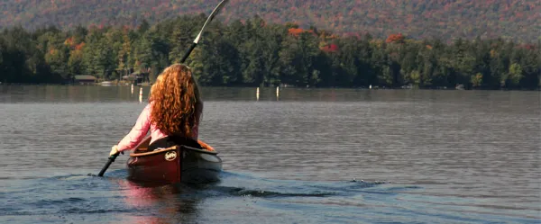
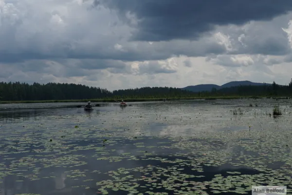
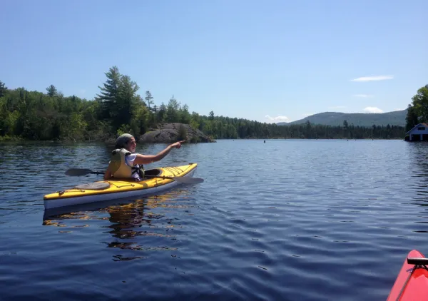
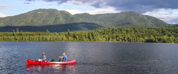
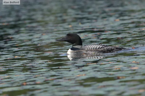
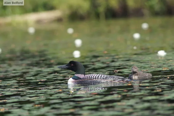
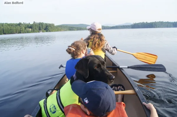
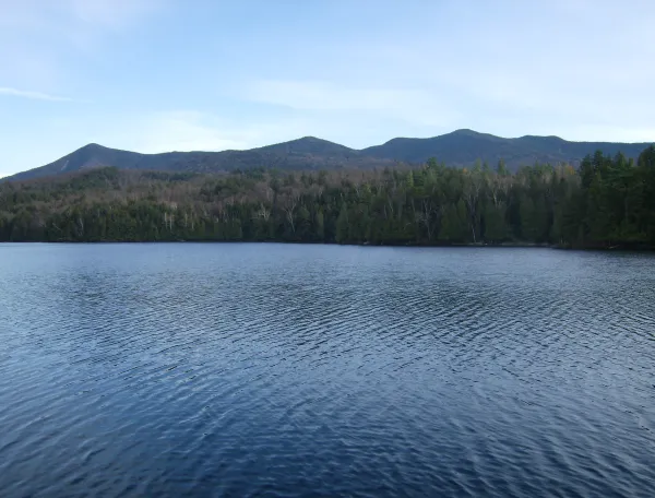
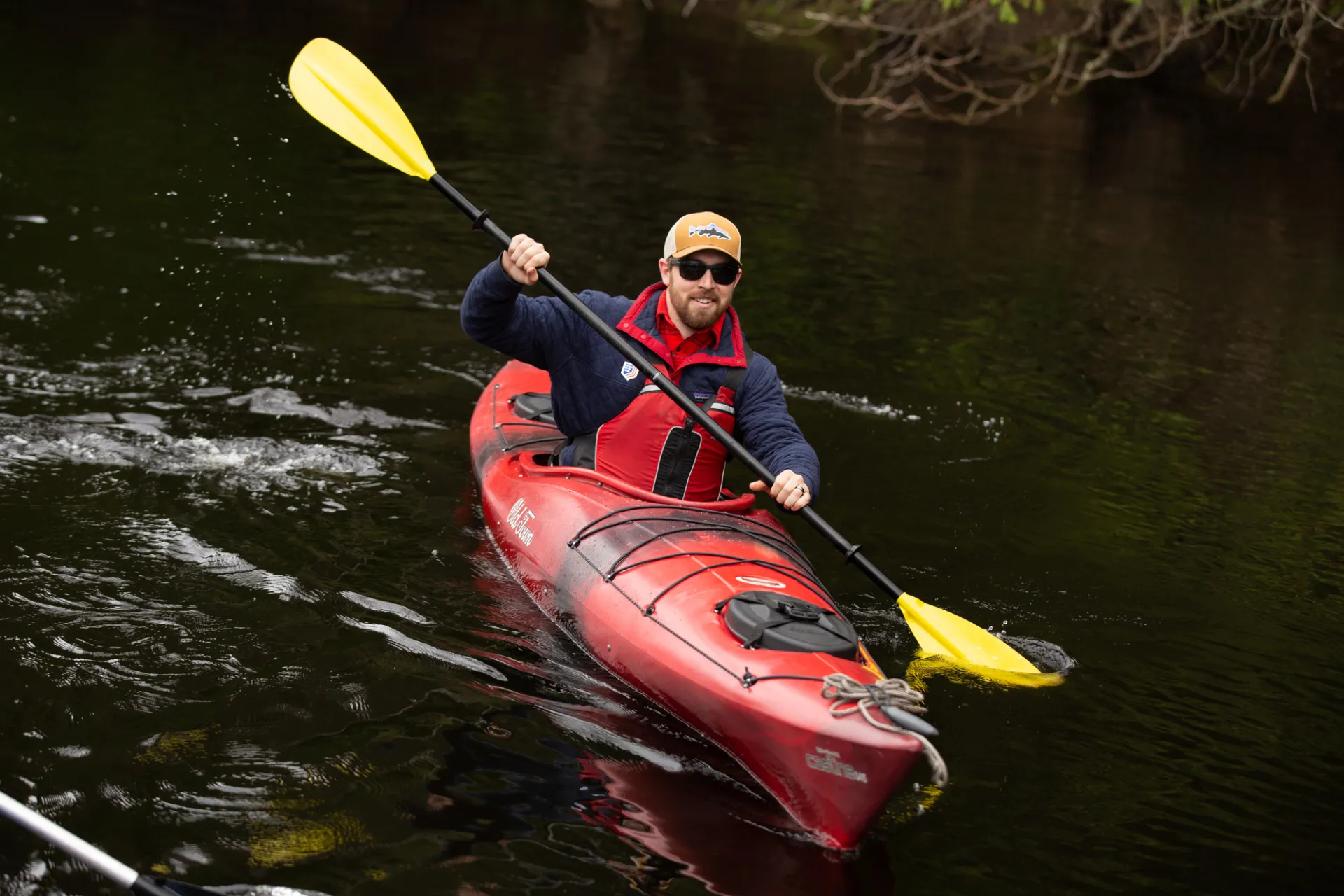
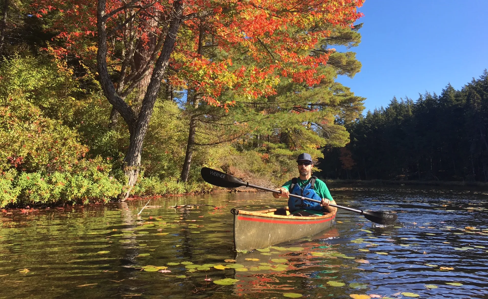
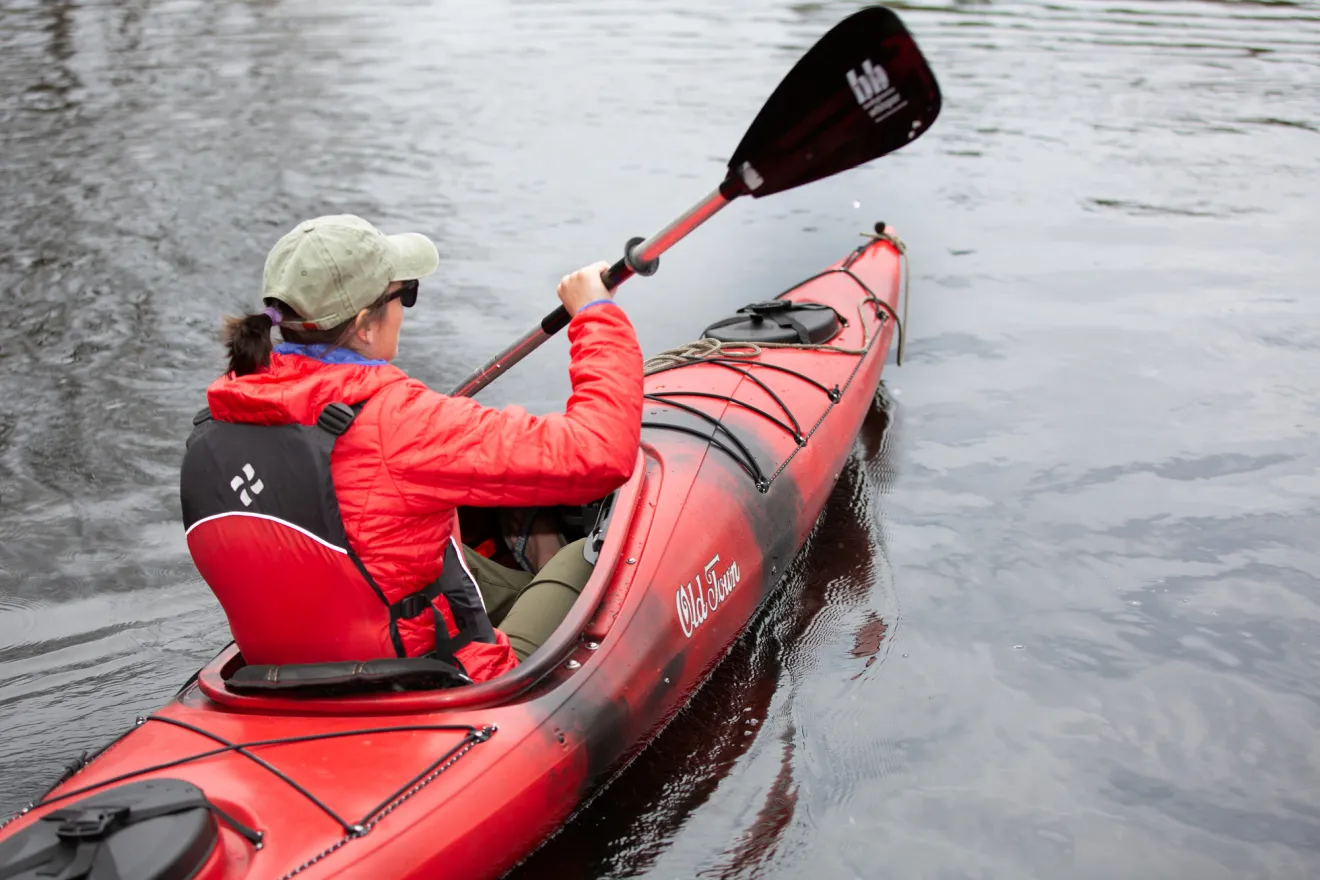
The St. Regis Canoe Area is the only designated canoe area in New York State and one of the most unique paddling destinations in the Adirondacks. With access points at Long Pond, Upper St. Regis Lake, Hoel Pond, and Little Clear Pond, it is easy to launch into a quiet network of 50 ponds spanning more than 1,600 acres, from small hidden waters to the 388-acre St. Regis Pond. Popular routes like the Seven Carries offer a classic introduction, linking several ponds between Little Clear Pond and Lower St. Regis Lake, while the Nine Carries provides another scenic option. Many connecting trails require traditional carries, so be prepared to portage your gear as part of the adventure.
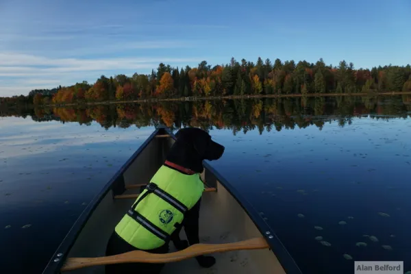
More than water
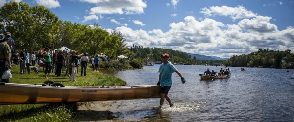
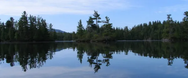
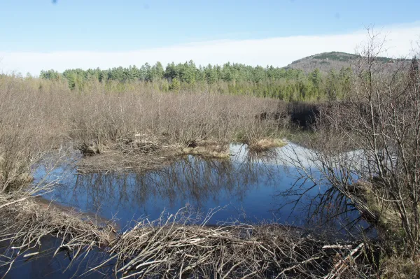
Paddling is the main draw in the St. Regis Canoe Area, a landscape managed for its exceptional water resources, but there is plenty more to explore. Visitors will also find opportunities for fishing, hunting, cross-country skiing, and snowshoeing across this remote network of ponds and forest. With so much to do, it is easy to stay awhile, and primitive campsites and lean-tos make it simple to extend your trip. Seventy campsites are located along the shores of 20 ponds, all first come, first served and marked with yellow “Camp Here” discs. These are true backcountry sites with no water or electricity hookups, offering a more rustic experience.
Adventurous souls who want to set out on foot have 26 miles of trail to choose from, including St. Regis Mountain, Long Pond Mountain, and Fish Pond Truck Trail.
Fish Pond Truck Trail: Long and easy, this path only ascends 200 feet in 4.7 miles, and there are a bunch of side trails to explore along the way.
Long Pond Mountain: Paddle across Long Pond to reach the trailhead, then gain 930 feet in elevation over 1.5 miles to get to the top.
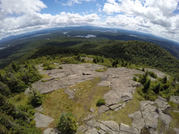
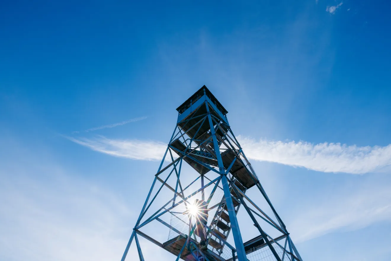
St. Regis Mountain: This trail ascends more than 1,200 feet in 3.3 miles to the 35-foot restored fire tower on the mountain’s summit.
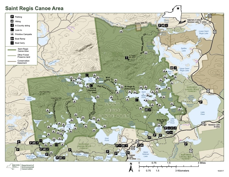
St. Regis Canoe Area Map
Explore the St. Regis Canoe Area map to discover access points, paddling routes, portages, and campsites throughout this unique wilderness. Use it to plan your next trip, chart your course, and get ready for a memorable paddling adventure.
Getting there
There are several access points into the St. Regis Canoe Area, with parking areas spread along a few key entry roads.
Floodwood Road
Floodwood Crossing parking area (44.3392° N, 74.4053° W)
Long Pond parking area (44.3466° N, 74.4215° W)
Hoel Pond hand launch parking area (44.3469° N, 74.3444° W)
Fish Hatchery Road
Clear Pond hand launch parking area (44.3554° N, 74.2921° W)
Fish Pond Truck Trail parking area (44.3554° N, 74.3037° W)
Little Green Pond parking area (44.3592° N, 74.2946° W)
Upper St. Regis Lake area
Town of Harrietstown boat launch, also known as the Upper St. Regis Lake boat launch (44.3951° N, 74.2698° W)
Additional access point
St. Regis Mountain trailhead parking area (44.4321° N, 74.3001° W)