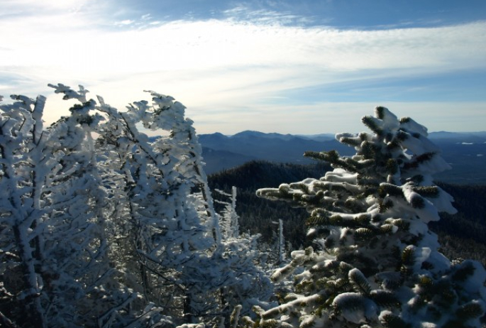
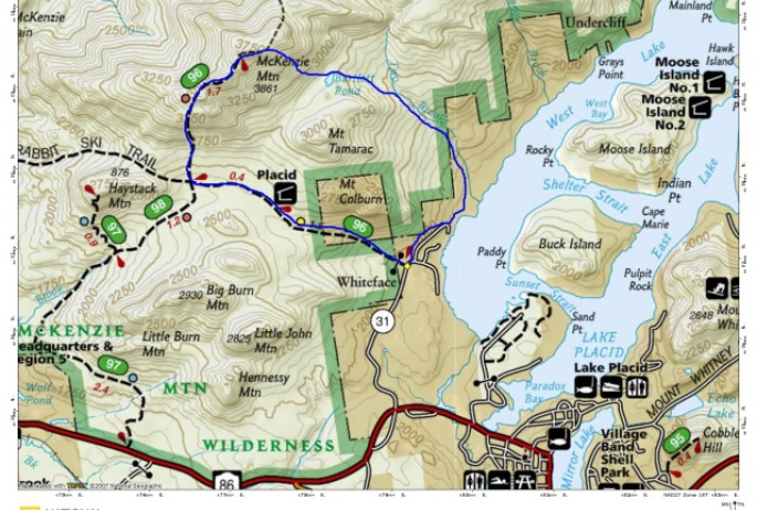
There’s nothing like playing in the snow, especially when it’s the first of the season. While the flurries were reaching the village I knew I had to get up higher, above 3000 feet in elevation to really enjoy it, so I headed to McKenzie Mountain for a spell. It has been a while since I visited McKenzie, last December to be more exact and under similar conditions, and actually not since the introduction of the Saranac Lake 6er Challenge.
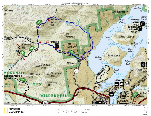
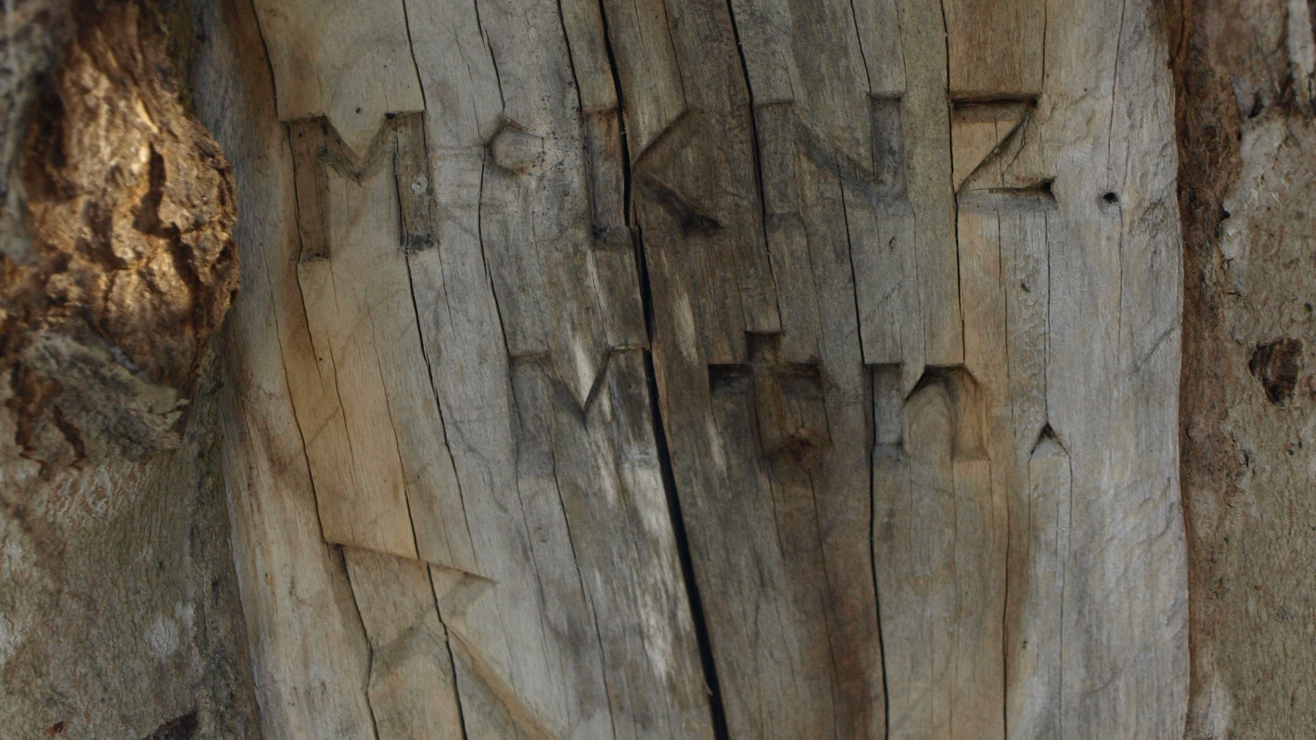
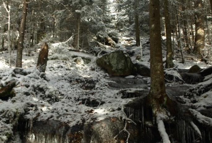
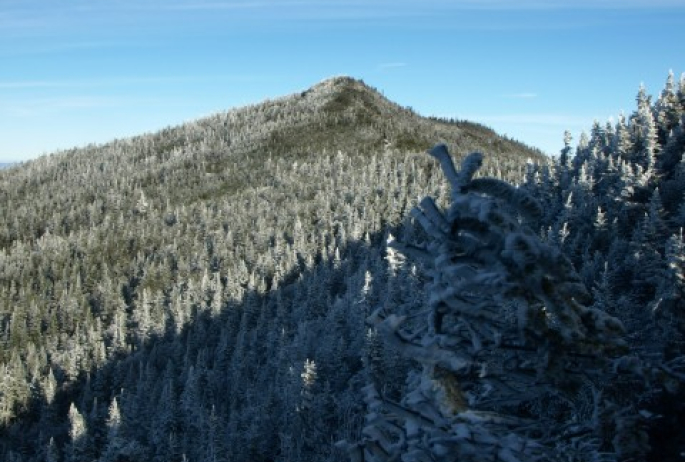
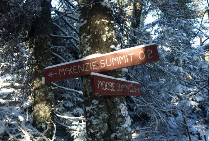
My choice of trailhead was to be off Whiteface Inn Lane at the trailhead for the Jackrabbit Trail. Once I arrived I set out on a pretty fast clip, I wanted to be up there if the clouds cleared to enjoy the blue ski and the bright whites of the fresh snow. The initial serving of trail that followed the Jackrabbit went by rather quickly and in no time at all I was at the junction for McKenzie Mountain. At this point I took out my camera to take a picture and to my disappointment, no batteries, I forgot I took them out of the bag to charge them, bummer!!! So, the pictures you see here are from the hike last December, I thought I should put a few in to give you some reference.
Once I hit this next section trail I was astonished as to just how wet the beginning portion really was. I seem to forget this fact each time I go back, but once I am there, it all comes rushing back. Once I was off the flat section of trail and on the steep slopes, the water slowly dissipated and the terrain wasn’t too bad. However, the steeper portion where the water lightly runs down the rocks was iced over; thankfully for me I brought my Microspikes for traction. Still with only a light coating of ice in spots the Microspikes proved to be a bit much, but better than nothing. As I ascended higher the ice grew deeper and the traction was perfect.
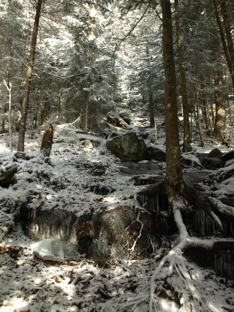
I didn’t have much for views initially, but as I climbed, the clouds lifted some and I could see into the valley. Once I reached the first major overlook the views were pretty good. There were brief windows of blue ski, still a bit obscured but better than nothing. Now I was at the start of the false summits that make the ridge so fascinating. Quickly I came to the true summit where my views were a bit better. My original plan was to head back the way I came, but honestly the steep slopes were very icy and the footing would be a white knuckle descent with turtle movement. So, with that philosophy I changed plans the last moment and went for the S.O.A. Trails down to Bartlett Pond.
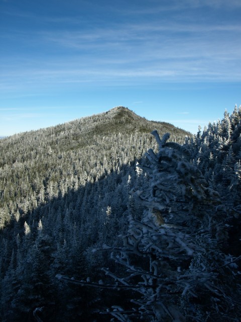
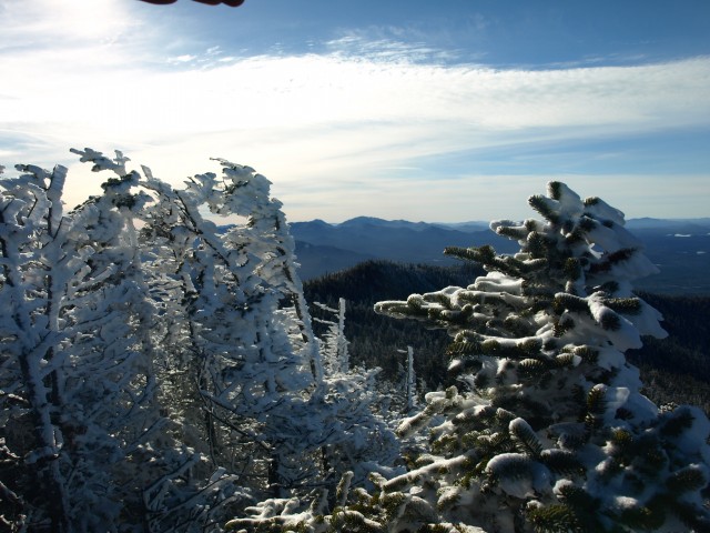
I started my descent knowing that the trail conditions on this side are less than proper, but I went for it anyhow. I hit a bit of blow down in the initial segment before I reached the intersection for Moose Mountain.
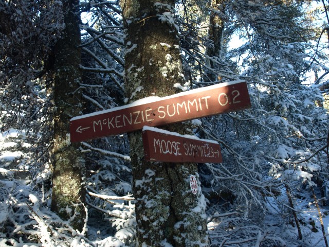
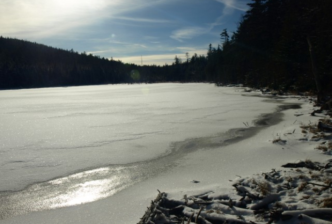
From here the trail became very narrow and again very wet with a decent flow of water down the center of the trail. The footing was a bit slippery, but not much for ice. Some dead fall hindered the trail as I approached the pond, but none too bad. The pond was very placid, and the air crisp and silent – this was a great place for a snack break. The trail around the pond was in good condition and posed no issues.
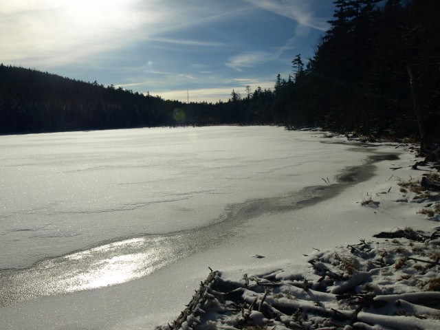
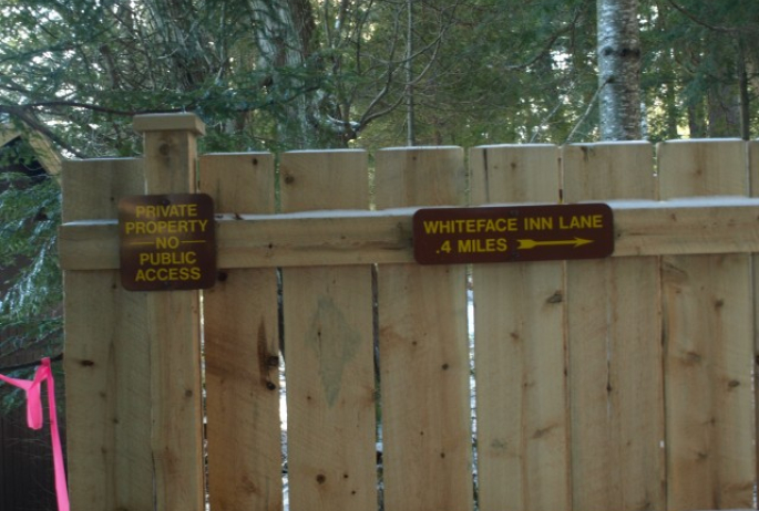
The foot trail from here was in OK condition, but a few areas of blow down proved to be tough. One section took me a bit of time to navigate and find the trail on the opposite side, but once I did, this made everything else bearable. The trail eventually became attractive and soft under foot and once on the Lake Shore Trail, it was normal. I quickly found myself at the rerouted section of trail, following a towering wood fence and eventually following the course of Blodgett Road.
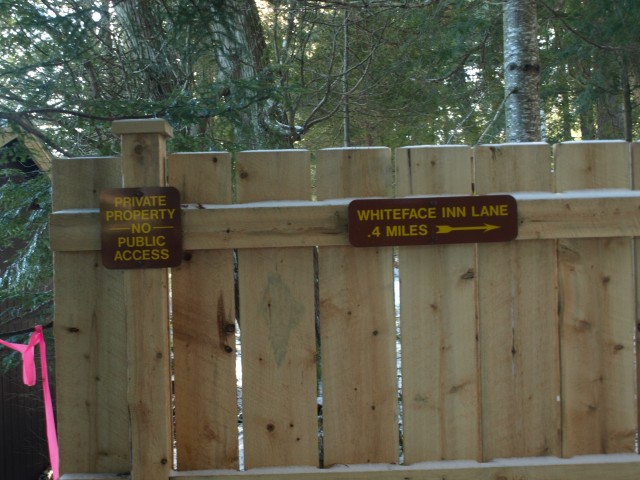
Then I was back to the Whiteface Inn Lane then the trailhead for the Jackrabbit Trail, located less than a quarter mile away. This is a great loop, if you don’t mind planning and are comfortable with a bit of navigation in your day. The views are amazing, seclusion is perfect and distance not too long.
If you are interested in hiking McKenzie Mountain and/or Moose Mountain, but need a bit more assistance – contact a local guide service for details. You could also swing into a local bookstore or gear shop and pick up a copy of The Other 54 or the High Peaks Guide for more details on the S.O.A. trails and others located in the McKenzie Mountain Wilderness.
