Western High Peaks

About
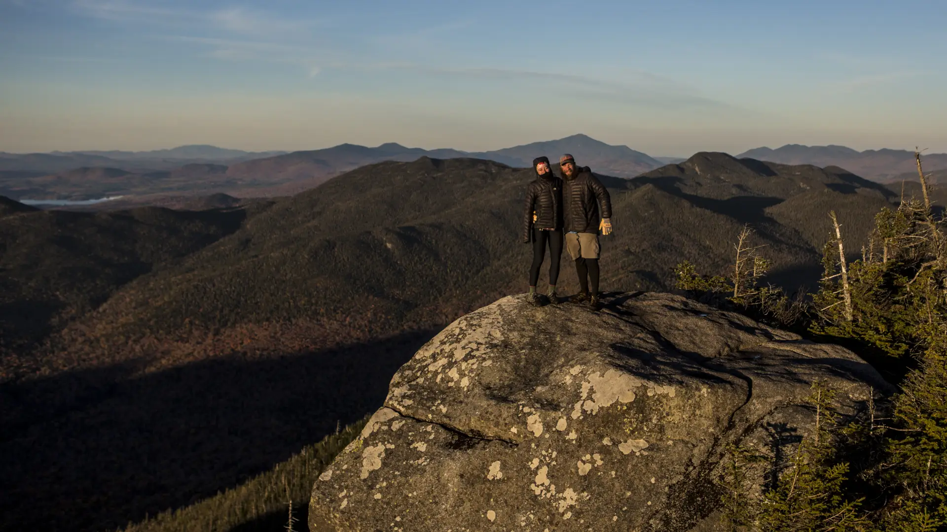
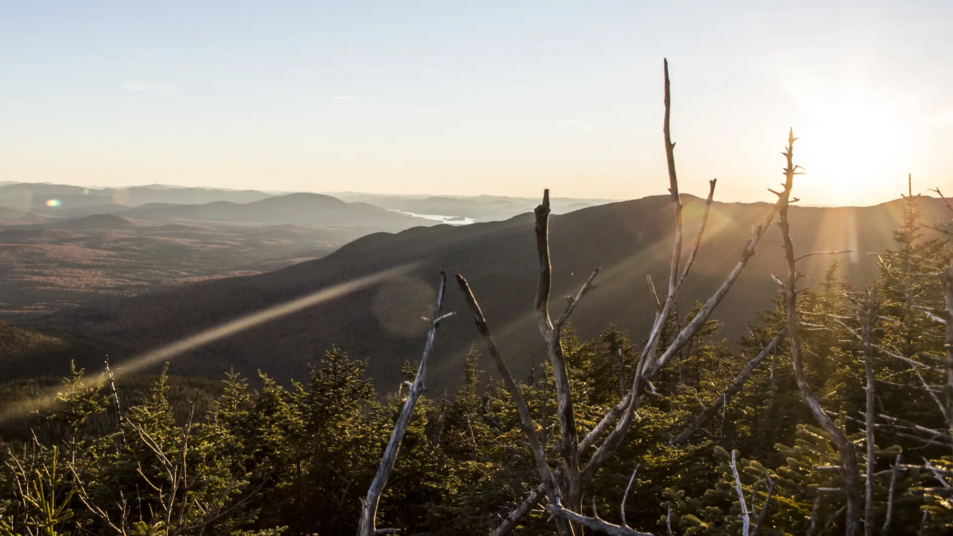
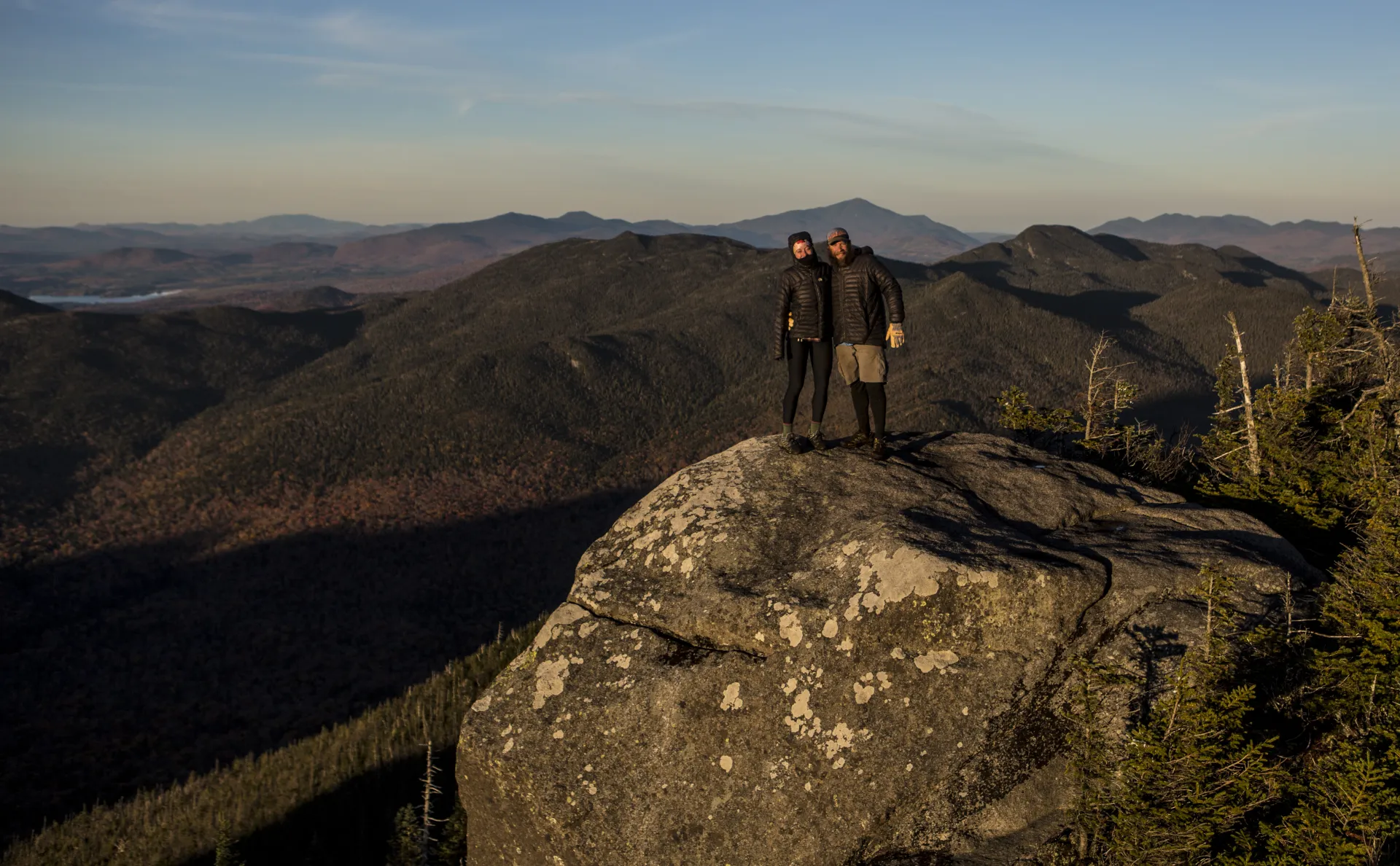
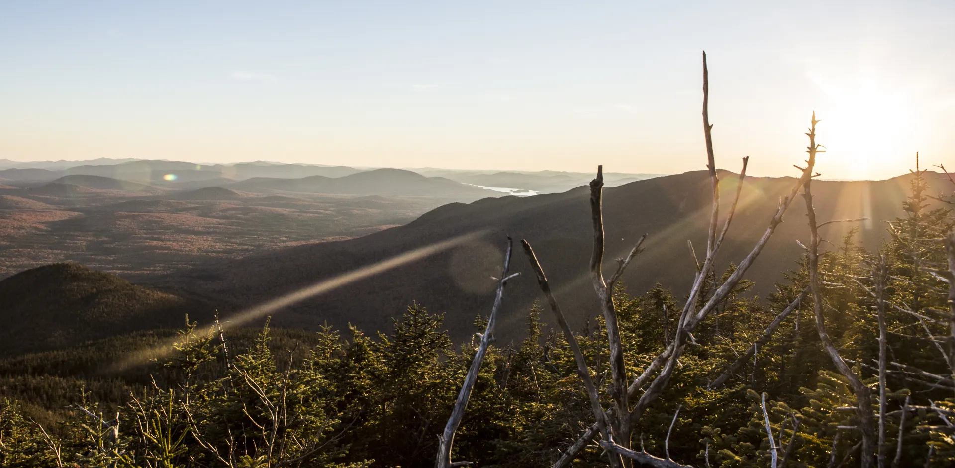
The Western High Peaks are rugged, challenging, and beautiful. The trails that climb these four Adirondack 46ers are unmarked and unmaintained. Expect to encounter fallen trees, muddy inclines, and rock scrambles. The journey will be difficult, but the views are worth it. A successful hike of any of the Sewards involves research, physical fitness, the right gear, and knowledge of Leave No Trace principles.
Since getting to the base of the Western High Peaks requires a fairly long walk in of about 5 miles, many people tackle these peaks over two days, staying at one of four lean-tos that are near the herd paths leading to the peaks. By spending the night, hikers can summit the three mountains in the Seward Range (Seward, Donaldson, and Emmons) in one day and then do Seymour Mountain on its own. And while these four peaks are the crown jewels of this area, there are plenty of hikes to do in the Western High Peaks and along Coreys Road that aren't 46ers.
Below is some information on hiking the four Western High Peaks.
Hiking in the Western High Peaks
Seward Range minus Seymour
Key takeaways
- Distance: 15.8 miles round trip
- Elevation gain: 4,080 feet
- Mountain elevations: Seward - 4,361 feet elevation; Donaldson: 4,140 feet elevation; Emmons - 4,040 feet elevation
- Based on a clockwise hike starting with the Blueberry Trail and returning via the Calkins Brook Truck Trail
- Hike includes bridges, trail junctions, unmarked trail, and steep rock slab
There are several ways to tackle Seward, Donaldson, and Emmons. A popular way to do this is a clockwise loop of the Seward Range that starts on the Blueberry Trail and returns via the Calkins Brook Truck Trail. Other ways include hiking Seward by itself, reversing the loop and doing all three, or doing just Donaldson and Emmons by itself.
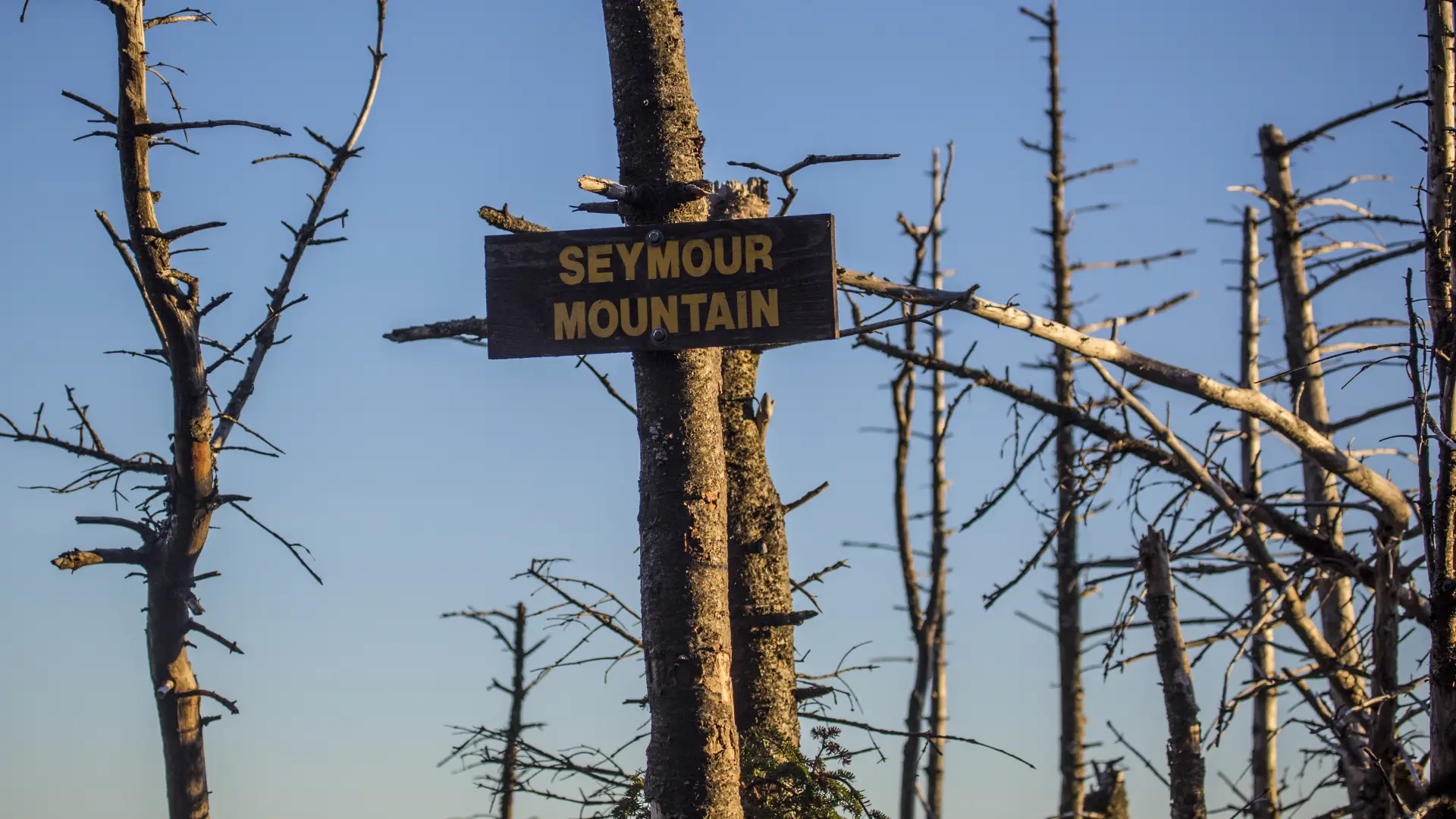
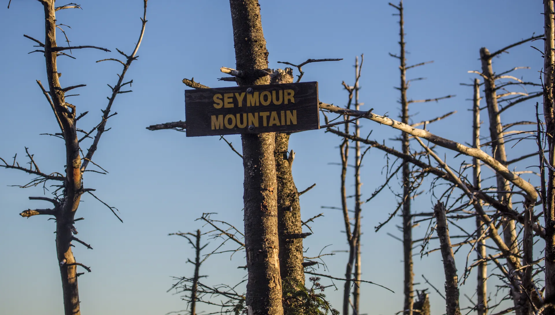
Seymour Mountain
Key takeaways
- Distance: 14 miles round trip
- Mountain elevation: 4,120 feet
- Elevation gain: approximately 2,870 feet
- Hike includes trail junctions, bridges, and unmarked trail
The hike to Seymour Mountain follows the Blueberry Trail. It is often done by itself, but for those with the fitness and experience, can be combined with the rest of the Seward Range in one big push.
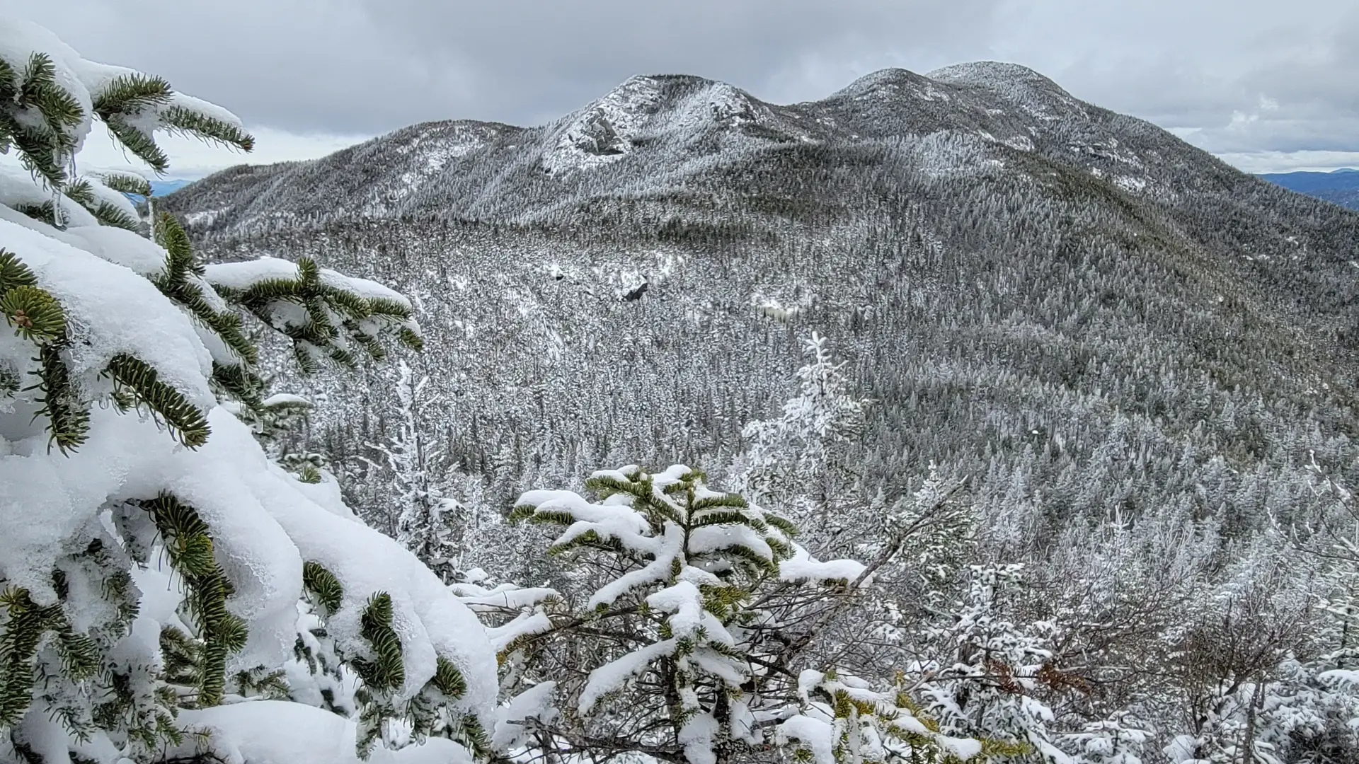
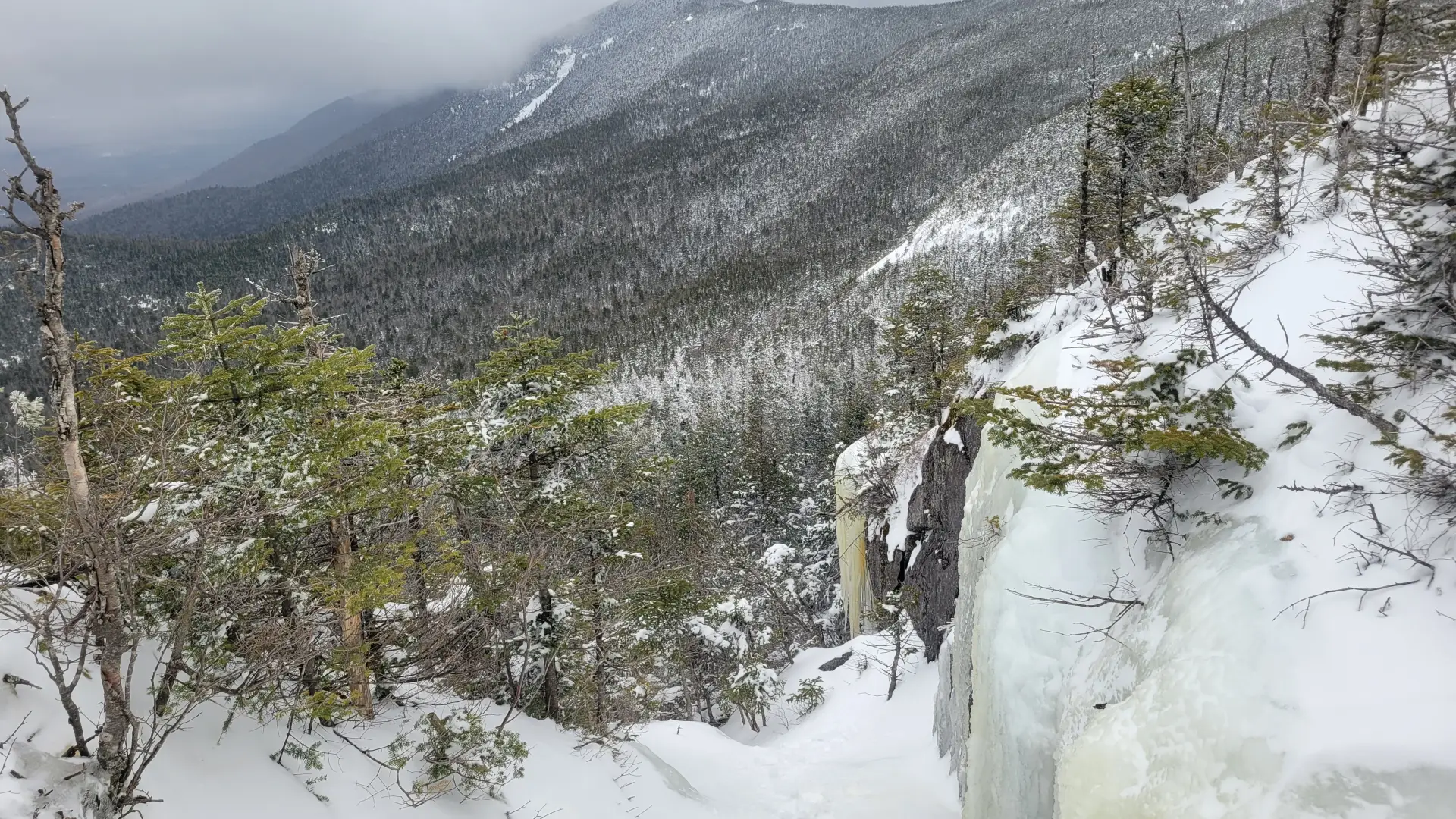
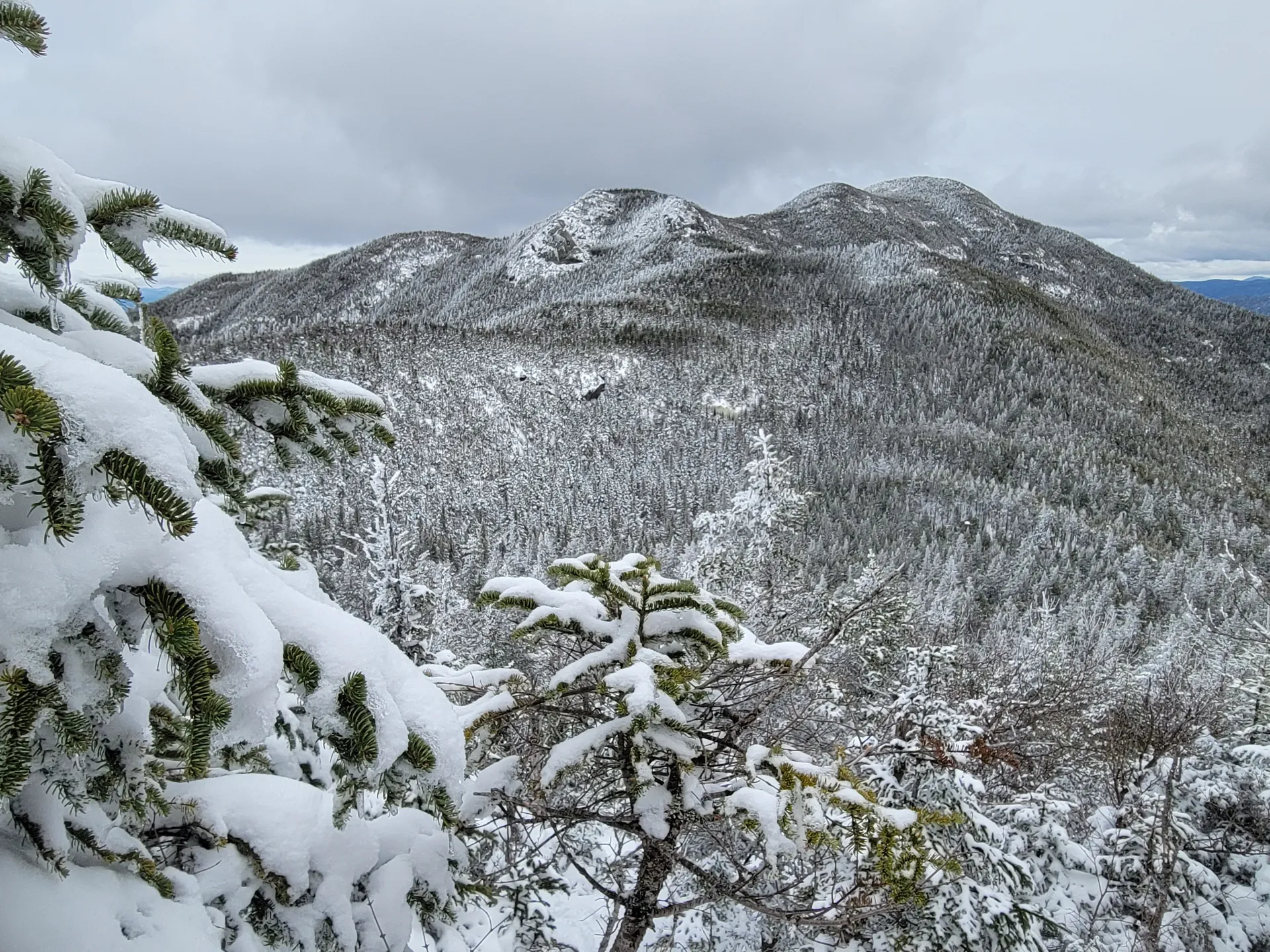
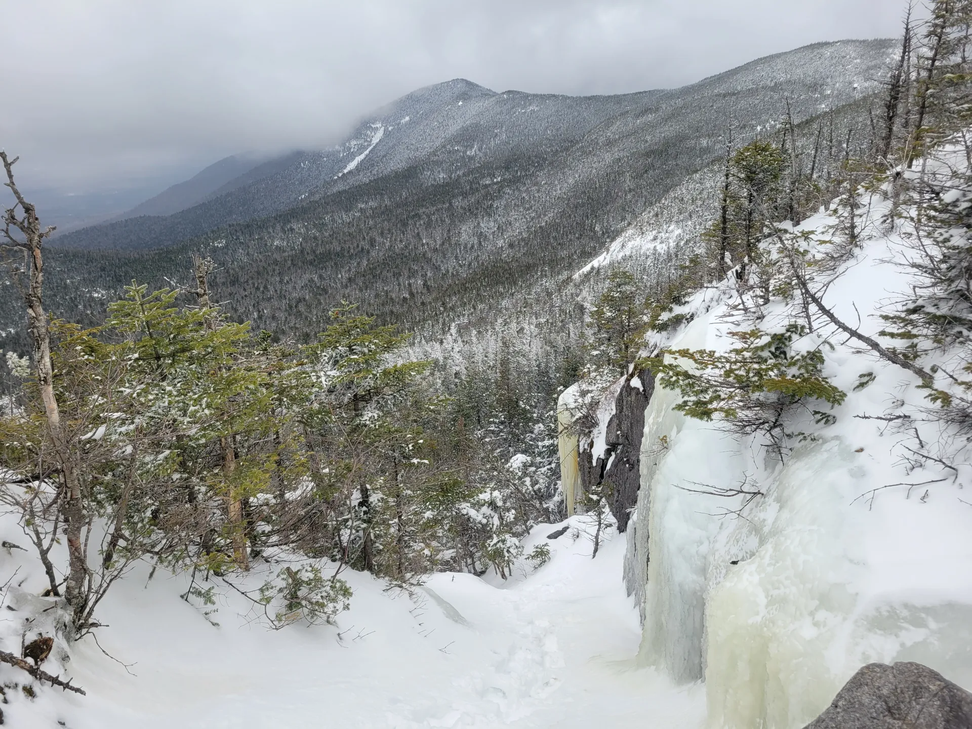
Western High Peaks in the winter
Corey's Road is often not plowed past a certain point in winter, making accessing the Western High Peaks from this direction a long and difficult endeavor. Many opt to ski the approach to the summer trailhead.
The Western High Peaks are challenging mountains that should only be attempted by experienced hikers, especially in winter. Snowshoes are a must for much of the route, and microspikes or crampons are necessary to climb the steep sections. Plan on the temperature in the higher elevations being at least 20 degrees colder than in the valley, not including the windchill. Bring several extra non-cotton layers, a headlamp with spare batteries, extra food, a windbreaker, goggles, face mask, and supplies for spending the night in case of emergency. Be prepared for all winter conditions.
Explore more trails
Do the Western High Peaks sound amazing, but a little more than you want to tackle right now? No need to stress, we can help you find a uniquely Saranac Lake trail that’s right for you!
How to get there
Corey’s Road leads straight to the Western High Peaks, and can be used to access the four mountains there. From Saranac Lake, take Route 3 west, toward Tupper Lake, for about 12.5 miles and turn left on Corey’s Road. There’s a large DEC sign at this turn. Continue on Corey’s Road (it turns into Ampersand Road after a few miles) for 5.5 miles and look for the parking area on the right. Note that this road is seasonal and may be impassable in winter.
